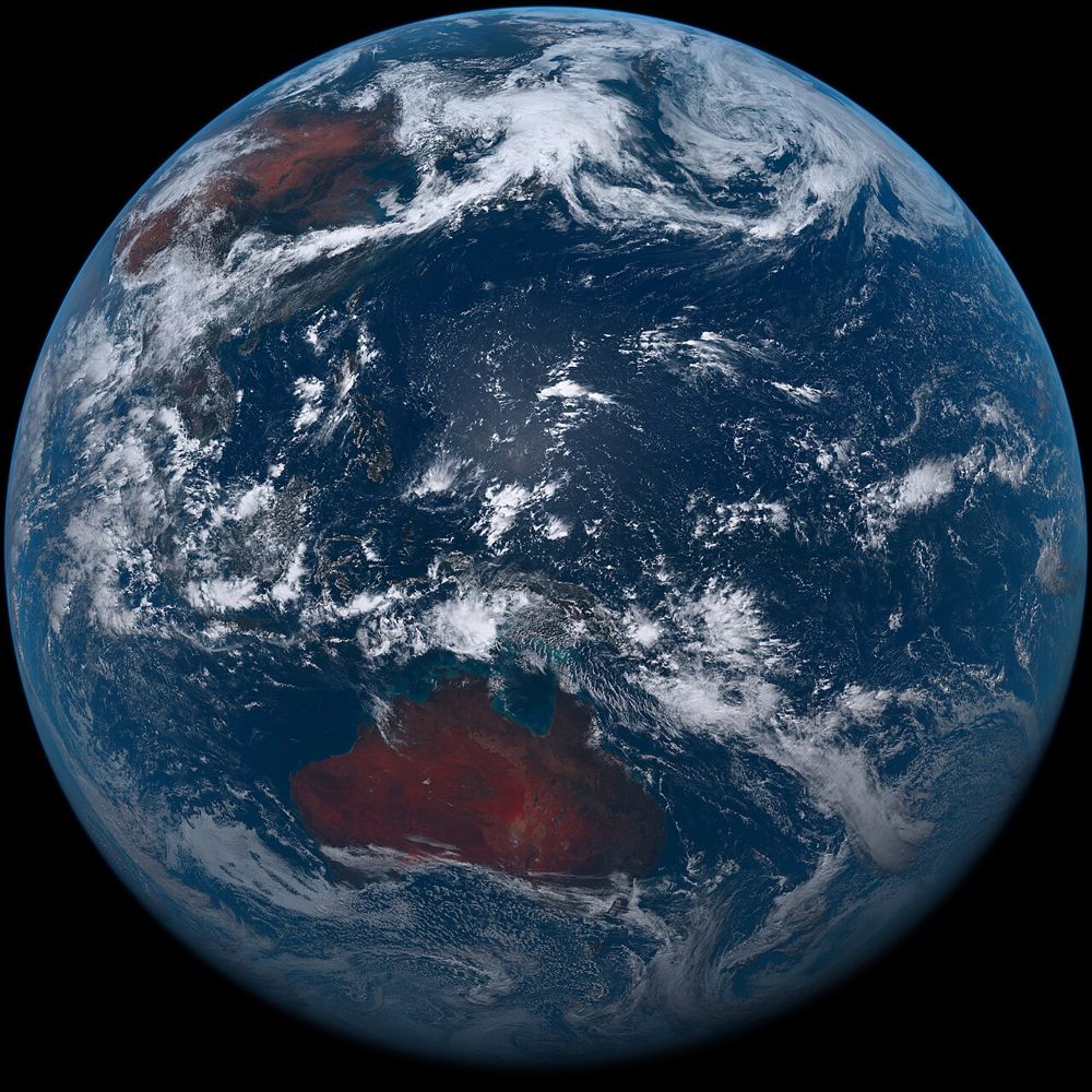
Satellite data marketplace
Data from space,
for your business.
From free open data to commercial high-resolution imagery — search, compare, buy and analyze satellite data all in one place.
Start free, pay only for what you need
A freemium model, so you can get started with zero risk.
01
Start with free data
Search and download open data such as Sentinel, Landsat and ALOS for free — including pre-processed analytics products.
02
Scale up to paid data
Order commercial imagery by the scene — 3 m near-daily PlanetScope, 30 cm-class WorldView and more.
03
Integrate via API
On Pro and Business plans, wire satellite data straight into your own systems through the API.
Data Catalog
Search across free open data and paid commercial data in one place.
12 datasets
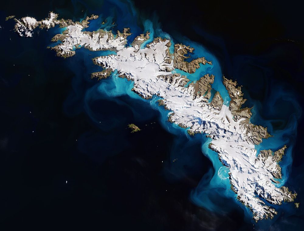
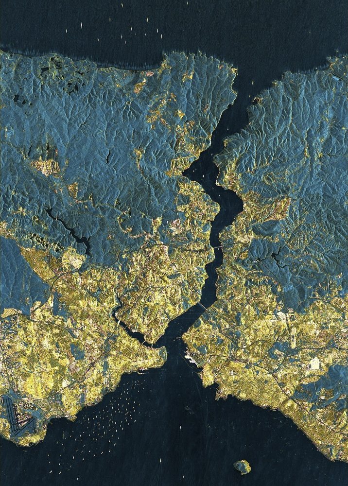
Sentinel-2 (Optical, Multispectral)
ESA / Copernicus
The optical satellite of ESA's Copernicus Earth-observation programme. Its 13-band multispectral data is the most widely used free source for vegetation indices (NDVI), water detection and land-cover analysis.
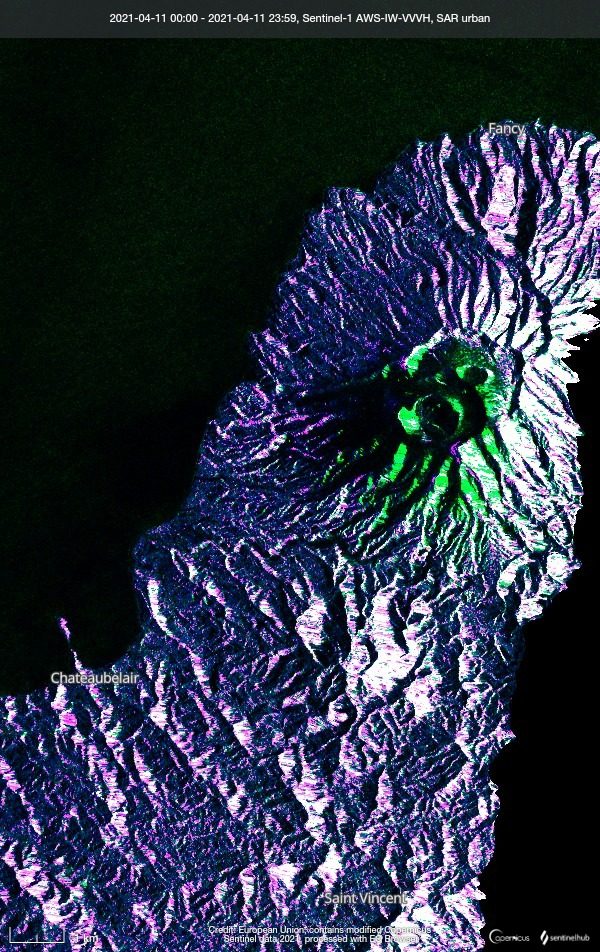
Sentinel-1 (SAR)
ESA / Copernicus
A C-band Synthetic Aperture Radar (SAR) that observes day or night and through any weather. It delivers stable data for ground deformation and flood detection where optical sensors cannot see.
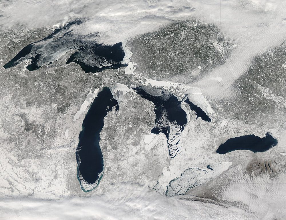
Landsat 8/9 (Optical, Thermal IR)
NASA / USGS
The world's longest Earth-observation archive, running since 1972. Its 50-year time series is unmatched for long-term change analysis, and the thermal infrared band also captures land-surface temperature.
ALOS-2 PALSAR-2 (SAR)
JAXA
JAXA's L-band SAR satellite. Because it senses terrain change beneath vegetation, it excels at monitoring landslides and volcanic activity in forested areas. Emergency imagery during disasters is provided free of charge.
Himawari-8/9 (Weather)
JMA (Japan Meteorological Agency)
A geostationary weather satellite. Its 10-minute observation cadence lets you track clouds, typhoons and volcanic plumes in near real time, streaming 16 spectral bands.
MODIS (Terra/Aqua)
NASA
A 36-band wide-swath sensor. Though coarse in resolution, it covers the entire globe almost daily and is the workhorse for large-scale vegetation, fire and ocean-color monitoring, with a rich set of standard products.
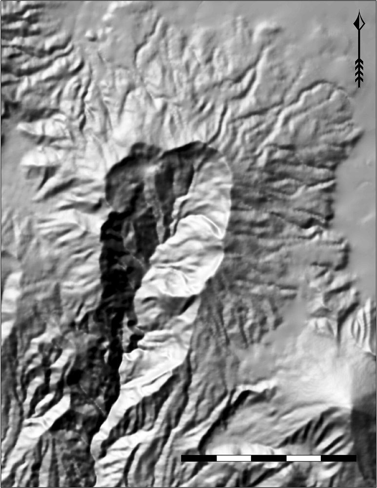
ALOS Global Digital Surface Model (AW3D30)
JAXA
A global 30 m Digital Surface Model (DSM) generated from ALOS stereo observations. It is the base layer for terrain analysis, flood simulation and line-of-sight studies.
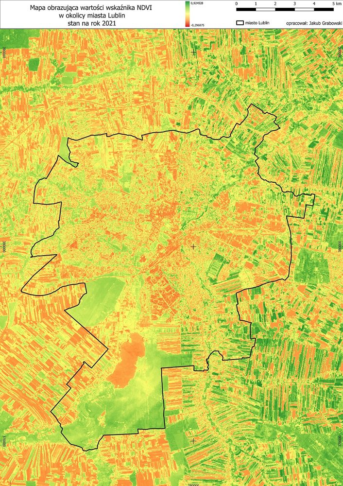
Sentinel-2 Derived Vegetation Index Product (Analysis-ready)
SatelliteData.org Analytics Lab
An NDVI/NDWI time-series product pre-computed by us from raw Sentinel-2 data. Because it is already processed, you can download it and use it immediately in GIS or BI tools.
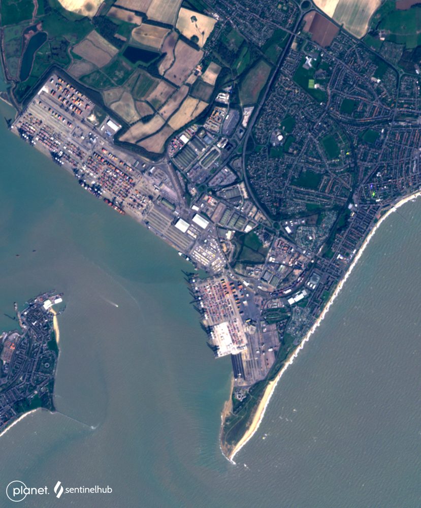
PlanetScope (3 m, near-daily)
Planet Labs PBC
A constellation of roughly 130 microsatellites images the entire land surface almost every day. Ideal when you cannot afford to miss any change—construction progress or anomaly detection on farmland.
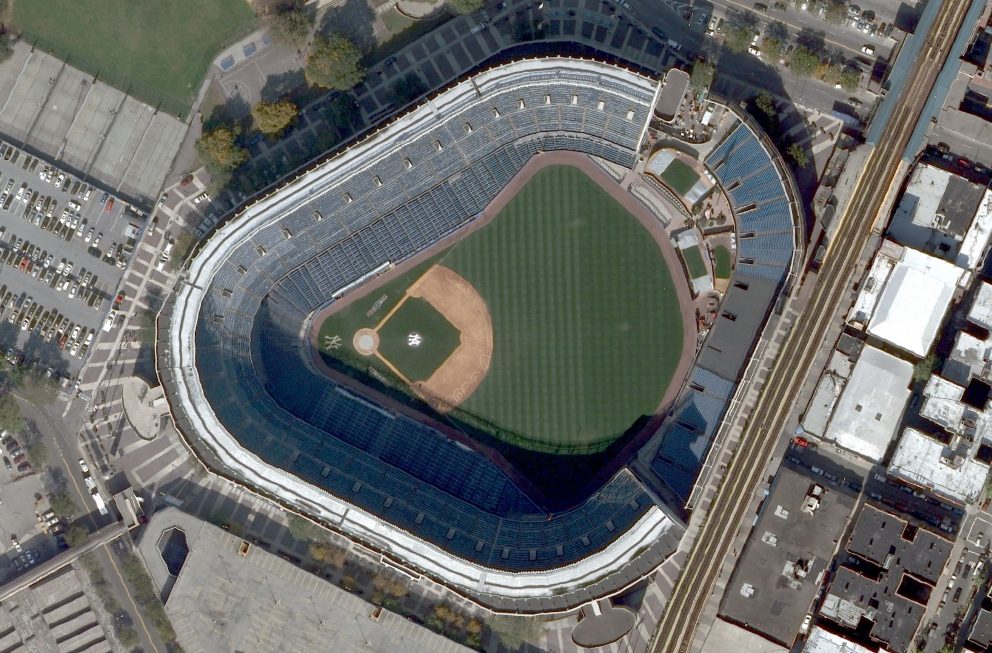
WorldView Legion (30 cm-class, very high resolution)
Maxar Technologies
Best-in-class commercial 30 cm resolution. Individual vehicles and structures are identifiable, making it a fit for real-estate due diligence, insurance loss adjustment and critical-infrastructure monitoring.

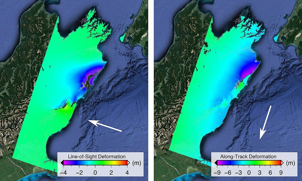
StriX (Small SAR Constellation)
Synspective (Japan)
A Japanese small-SAR satellite constellation. It offers 1 m-class resolution with day/night, all-weather observation, supports ground-displacement analysis and emergency disaster tasking, and pairs with analytics services.
ICEYE SAR (25 cm-class SAR)
ICEYE (Finland)
One of the world's largest SAR constellations. It reaches a top-tier 25 cm SAR resolution and has a strong track record in damage assessment for the insurance industry during storms and floods.
Free Satellite Viewer
Browse Satellite Imagery Anywhere in the World
Switch between Esri World Imagery (195 snapshots since 2014), Sentinel-2, MODIS, and NASA datasets. Browse any location at any date, right in your browser.
- ✓Monthly historical snapshots from 2014 to 2026
- ✓Search any place and zoom instantly
- ✓Save favorite locations to your profile
- ✓Export satellite images as PNG (15/month free)
Frequently asked questions
Is satellite data on SatelliteData.org free?
Yes — open data from Sentinel, Landsat, ALOS, MODIS and Himawari is free to search and download. Commercial datasets (PlanetScope, WorldView, ICEYE and more) are priced per scene.
What is the difference between optical and SAR satellite data?
Optical sensors capture reflected sunlight (like a camera) and need clear, daylit skies. SAR (Synthetic Aperture Radar) actively emits microwaves, so it images day or night and through clouds — ideal for floods and ground deformation.
Which satellite data is best for agriculture?
Sentinel-2 (10 m, free) is the most popular source for vegetation indices such as NDVI. For daily monitoring, PlanetScope offers 3 m near-daily imagery.
Which data works through clouds and at night?
SAR datasets — Sentinel-1 (free), ICEYE and StriX — use radar, so they image regardless of cloud cover or darkness. This makes them the go-to for floods, storms and disaster response.
What spatial resolution can I get?
From about 500 m (Himawari weather) and 250 m (MODIS) down to 10 m (Sentinel), 3 m (PlanetScope) and 25–30 cm for premium commercial sensors like ICEYE and WorldView.
How often is a location imaged (revisit)?
From every 10 minutes (Himawari) to 16 days (Landsat). Commercial constellations such as PlanetScope revisit daily, and tasking sensors can capture key sites multiple times a day.
Can I get historical / archive imagery?
Yes. The Landsat archive reaches back to 1972 and Sentinel to 2014 — ideal for multi-decade change analysis. Each dataset page notes its temporal range.
What file formats do you provide?
Imagery is delivered in standard geospatial formats such as GeoTIFF that open directly in QGIS, ArcGIS and common BI tools.
How do I set my area of interest (AOI)?
On a dataset page, enter a place name or coordinates to define the AOI you want to download or order.
What is NDVI and why does it matter?
NDVI (Normalized Difference Vegetation Index) is computed from red and near-infrared bands and is the standard measure of vegetation health — widely used in agriculture and forestry.
How do I order commercial (paid) data?
Open the dataset, review the per-scene price, set your AOI and order the scene — or automate ordering through the API on a paid plan.
Do you cover my region / Japan?
Most datasets have global coverage. Japan is imaged at high frequency by ALOS and Himawari, and commercial constellations can task almost anywhere on request.
Do you provide an API?
Yes. A read-only JSON API exposes the catalog, sample imagery and pricing at /api/datasets, /api/dataset/{slug} and /api/plans — no API key required.
Can I integrate the data into my own application?
Yes. Use the JSON API to pull the catalog and metadata, and paid plans add higher API limits for production integration.
What is the difference between the Free, Pro and Business plans?
Free covers open data and limited API calls. Pro adds analysis-ready products (NDVI etc.), member pricing and higher limits. Business adds unlimited API, watchlists and priority support.
Do I need remote-sensing expertise to start?
No. Analysis-ready products such as pre-computed NDVI let you use satellite data immediately, without processing raw bands yourself.
How accurate is the data?
Accuracy depends on the sensor. Each dataset page lists resolution, revisit and provider specifications so you can pick the right source for your precision needs.
Can I use the imagery commercially?
Open datasets are provided under commercial-friendly licenses; commercial datasets follow each provider's license. Each dataset page lists its exact license.
How do I get started?
Search a keyword or browse the catalog, open a dataset that fits your need, and download the free open data — or follow one of our use-case guides.
Is there support if I get stuck?
Free plans include community support; Pro adds email support and Business adds a 99.9% SLA with priority support.
Popular searches
Start with free data.
Browse all 12 datasets and download open data with no limits.
Get started free