Environment: long-term change & climate monitoring
Use decades of open archives and daily wide-area sensors to quantify environmental change over time.
Search “environment”
Search the theme. The topic page gathers long-archive and wide-area datasets suited to change analysis.
Long archive + wide area
Landsat gives a 50-year record; MODIS covers the globe near-daily. Both are free and commercial-friendly.
Inspect & set AOI/time
Confirm coverage and license, then set the AOI and the time window you want to compare.
Get the time series
Pull a multi-year stack (free download or API) — e.g. one clear scene per year.
Time-series analysis
Compute per-pixel trends (e.g. NDVI or surface temperature) to quantify gains, losses and anomalies.
Deliver map & chart
Export a change map and a trend chart to your BI/report for stakeholders.
What you get
A change map and a multi-year trend chart for reporting and policy.
Recommended datasets
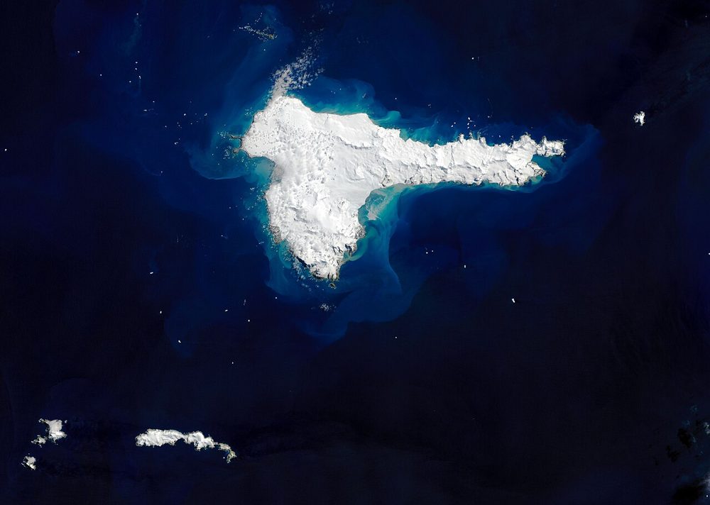
Landsat 8/9 (Optical, Thermal IR)
NASA / USGS
The world's longest Earth-observation archive, running since 1972. Its 50-year time series is unmatched for long-term change analysis, and the thermal infrared band also captures land-surface temperature.
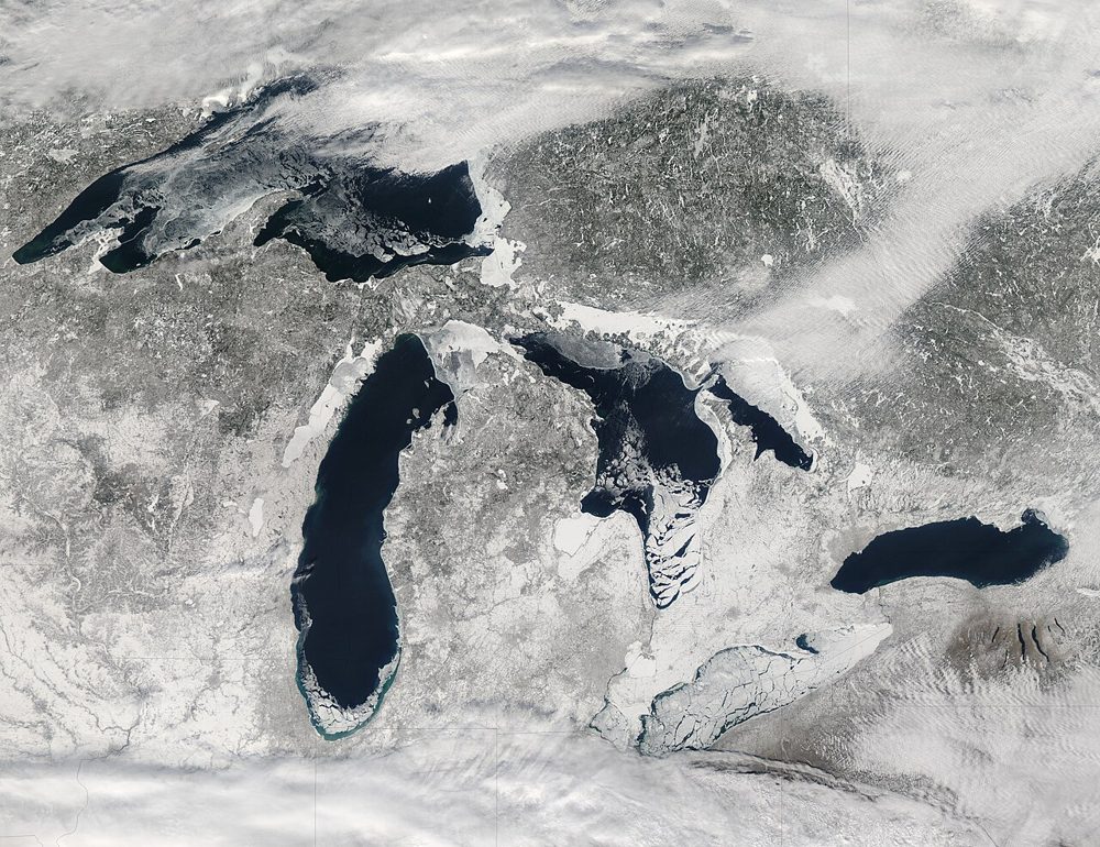
MODIS (Terra/Aqua)
NASA
A 36-band wide-swath sensor. Though coarse in resolution, it covers the entire globe almost daily and is the workhorse for large-scale vegetation, fire and ocean-color monitoring, with a rich set of standard products.
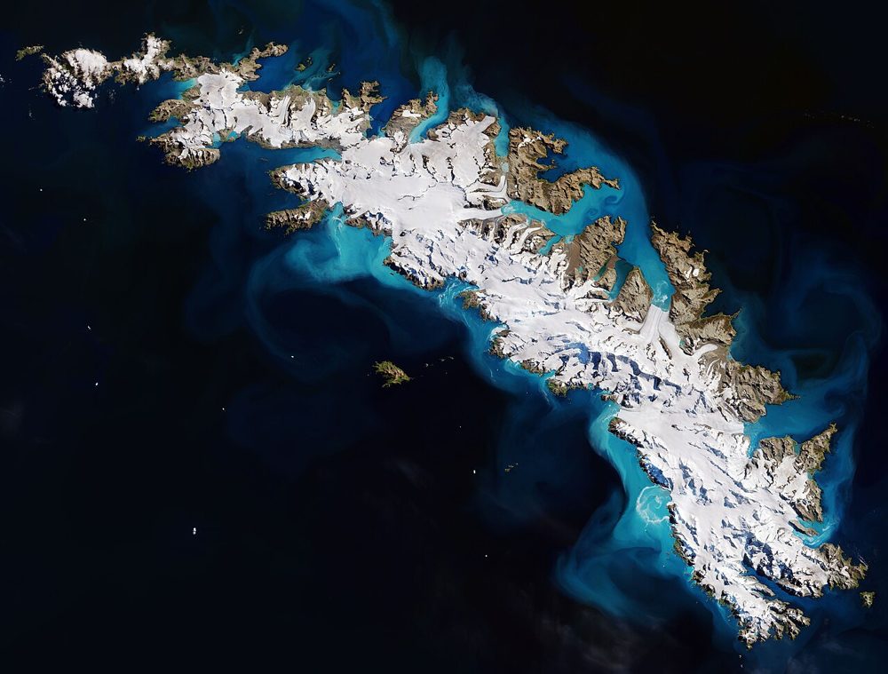
Sentinel-2 (Optical, Multispectral)
ESA / Copernicus
The optical satellite of ESA's Copernicus Earth-observation programme. Its 13-band multispectral data is the most widely used free source for vegetation indices (NDVI), water detection and land-cover analysis.
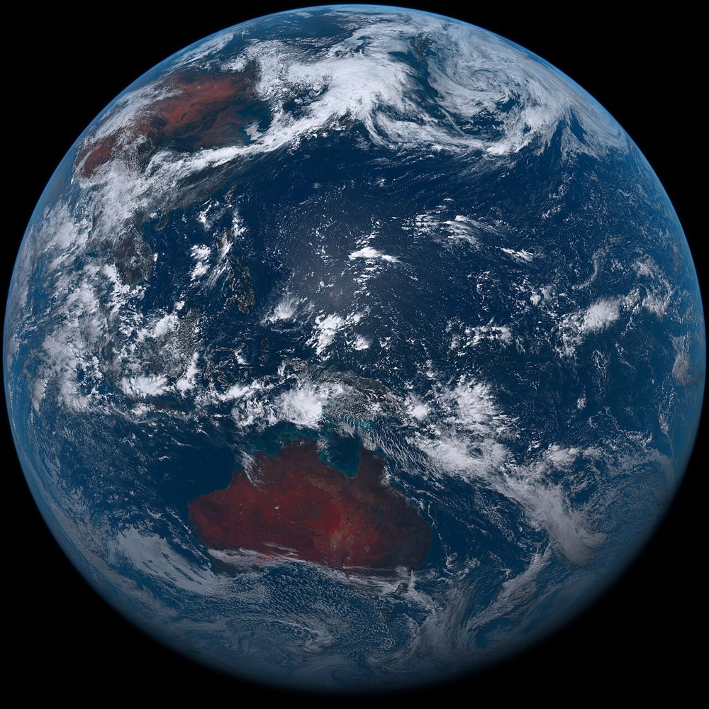
Himawari-8/9 (Weather)
JMA (Japan Meteorological Agency)
A geostationary weather satellite. Its 10-minute observation cadence lets you track clouds, typhoons and volcanic plumes in near real time, streaming 16 spectral bands.