Landsat 8/9 (Optical, Thermal IR)
Provider: NASA / USGS
The world's longest Earth-observation archive, running since 1972. Its 50-year time series is unmatched for long-term change analysis, and the thermal infrared band also captures land-surface temperature.
Sample imagery
Live imagery by location
Enter a place, address or country — or exact coordinates — to pull live satellite imagery for that location via a public API.
SourceCopernicus · Sentinel Hub Live layer from the same sensor/product as this dataset.Geocoding © OpenStreetMap / Photon
Resolution
30 m
Revisit
16 days
Coverage
Global
License
Open license (commercial use OK)
Price
$0 — Free
Common use cases
- Long-term environmental change
- Urbanization monitoring
- Water & land temperature analysis
Related Optical datasets
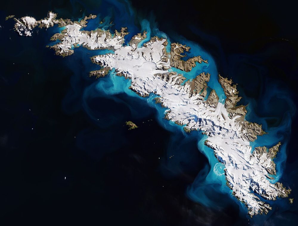
Sentinel-2 (Optical, Multispectral)
ESA / Copernicus
The optical satellite of ESA's Copernicus Earth-observation programme. Its 13-band multispectral data is the most widely used free source for vegetation indices (NDVI), water detection and land-cover analysis.
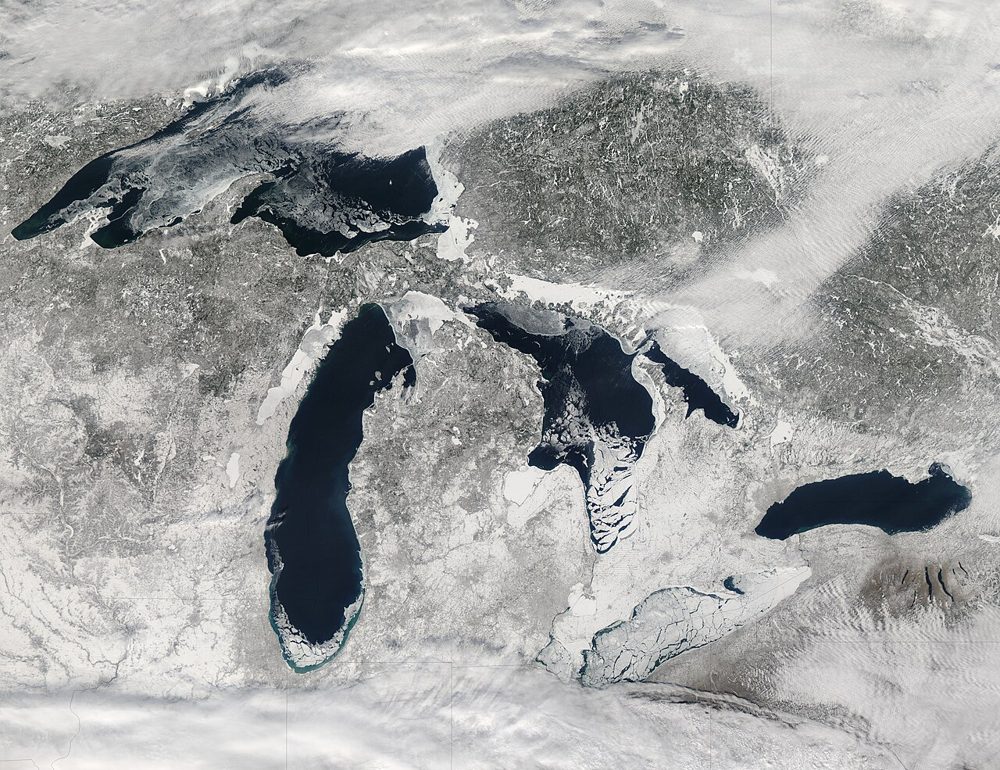
MODIS (Terra/Aqua)
NASA
A 36-band wide-swath sensor. Though coarse in resolution, it covers the entire globe almost daily and is the workhorse for large-scale vegetation, fire and ocean-color monitoring, with a rich set of standard products.
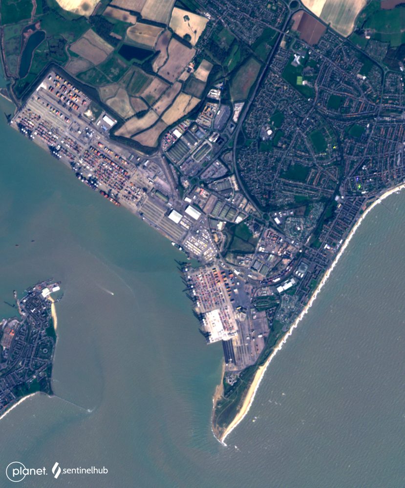
PlanetScope (3 m, near-daily)
Planet Labs PBC
A constellation of roughly 130 microsatellites images the entire land surface almost every day. Ideal when you cannot afford to miss any change—construction progress or anomaly detection on farmland.