PlanetScope (3 m, near-daily)
Provider: Planet Labs PBC
A constellation of roughly 130 microsatellites images the entire land surface almost every day. Ideal when you cannot afford to miss any change—construction progress or anomaly detection on farmland.
Sample imagery
Live imagery by location
Enter a place, address or country — or exact coordinates — to pull live satellite imagery for that location via a public API.
SourceCopernicus · Sentinel Hub Optical true-color basemap shown as location context.Geocoding © OpenStreetMap / Photon
Resolution
3 m
Revisit
Daily
Coverage
Global (land)
License
Commercial license
Price
$300+ / scene
Common use cases
- Construction progress
- Farmland anomaly detection
- Supply-chain monitoring
Related Optical datasets
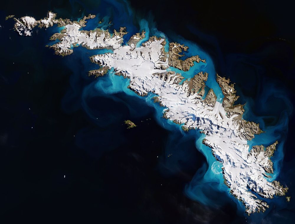
Sentinel-2 (Optical, Multispectral)
ESA / Copernicus
The optical satellite of ESA's Copernicus Earth-observation programme. Its 13-band multispectral data is the most widely used free source for vegetation indices (NDVI), water detection and land-cover analysis.
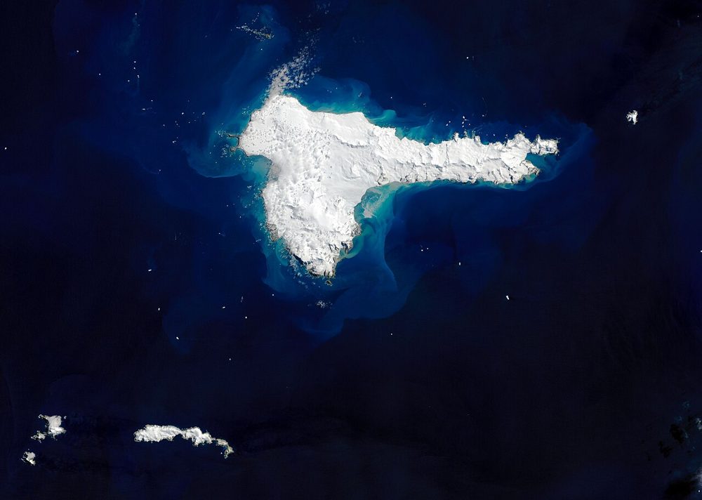
Landsat 8/9 (Optical, Thermal IR)
NASA / USGS
The world's longest Earth-observation archive, running since 1972. Its 50-year time series is unmatched for long-term change analysis, and the thermal infrared band also captures land-surface temperature.
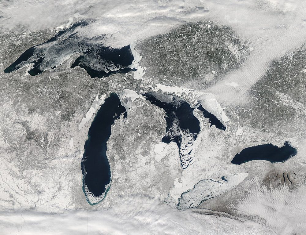
MODIS (Terra/Aqua)
NASA
A 36-band wide-swath sensor. Though coarse in resolution, it covers the entire globe almost daily and is the workhorse for large-scale vegetation, fire and ocean-color monitoring, with a rich set of standard products.