Data Catalog
Search across free open data and paid commercial data in one place.
12 datasets
Sentinel-2 (Optical, Multispectral)
ESA / Copernicus
The optical satellite of ESA's Copernicus Earth-observation programme. Its 13-band multispectral data is the most widely used free source for vegetation indices (NDVI), water detection and land-cover analysis.
Sentinel-1 (SAR)
ESA / Copernicus
A C-band Synthetic Aperture Radar (SAR) that observes day or night and through any weather. It delivers stable data for ground deformation and flood detection where optical sensors cannot see.
Landsat 8/9 (Optical, Thermal IR)
NASA / USGS
The world's longest Earth-observation archive, running since 1972. Its 50-year time series is unmatched for long-term change analysis, and the thermal infrared band also captures land-surface temperature.
ALOS-2 PALSAR-2 (SAR)
JAXA
JAXA's L-band SAR satellite. Because it senses terrain change beneath vegetation, it excels at monitoring landslides and volcanic activity in forested areas. Emergency imagery during disasters is provided free of charge.
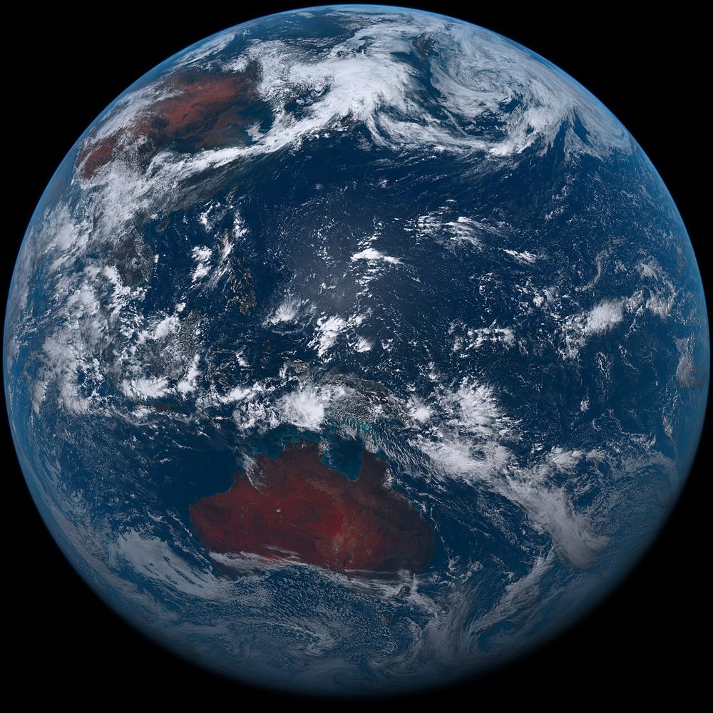
Himawari-8/9 (Weather)
JMA (Japan Meteorological Agency)
A geostationary weather satellite. Its 10-minute observation cadence lets you track clouds, typhoons and volcanic plumes in near real time, streaming 16 spectral bands.
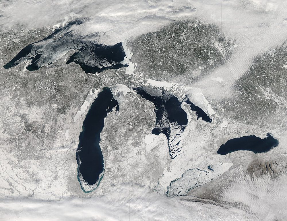
MODIS (Terra/Aqua)
NASA
A 36-band wide-swath sensor. Though coarse in resolution, it covers the entire globe almost daily and is the workhorse for large-scale vegetation, fire and ocean-color monitoring, with a rich set of standard products.
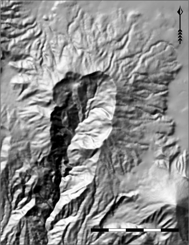
ALOS Global Digital Surface Model (AW3D30)
JAXA
A global 30 m Digital Surface Model (DSM) generated from ALOS stereo observations. It is the base layer for terrain analysis, flood simulation and line-of-sight studies.
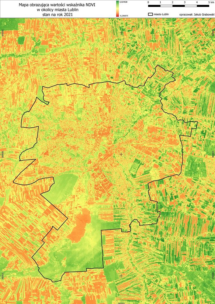
Sentinel-2 Derived Vegetation Index Product (Analysis-ready)
SatelliteData.org Analytics Lab
An NDVI/NDWI time-series product pre-computed by us from raw Sentinel-2 data. Because it is already processed, you can download it and use it immediately in GIS or BI tools.
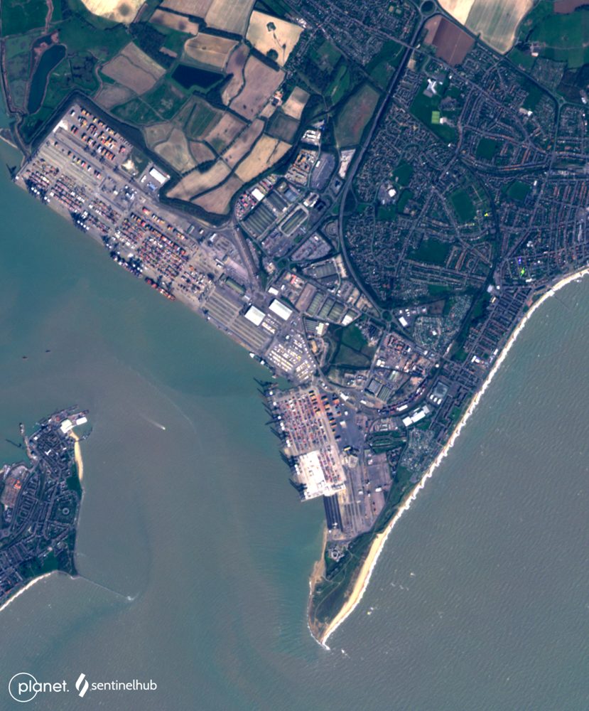
PlanetScope (3 m, near-daily)
Planet Labs PBC
A constellation of roughly 130 microsatellites images the entire land surface almost every day. Ideal when you cannot afford to miss any change—construction progress or anomaly detection on farmland.
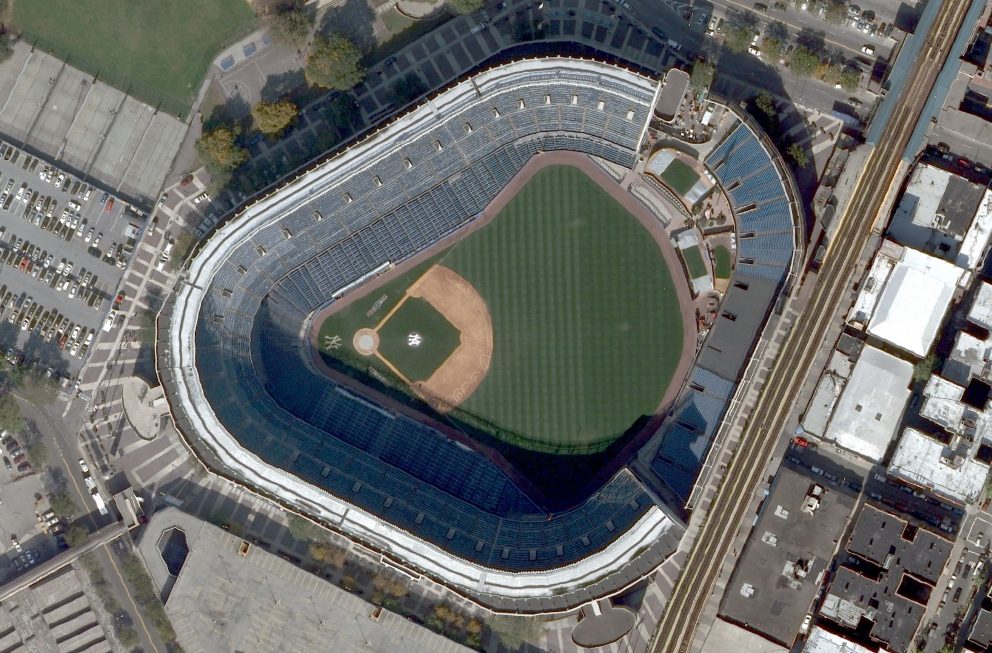
WorldView Legion (30 cm-class, very high resolution)
Maxar Technologies
Best-in-class commercial 30 cm resolution. Individual vehicles and structures are identifiable, making it a fit for real-estate due diligence, insurance loss adjustment and critical-infrastructure monitoring.
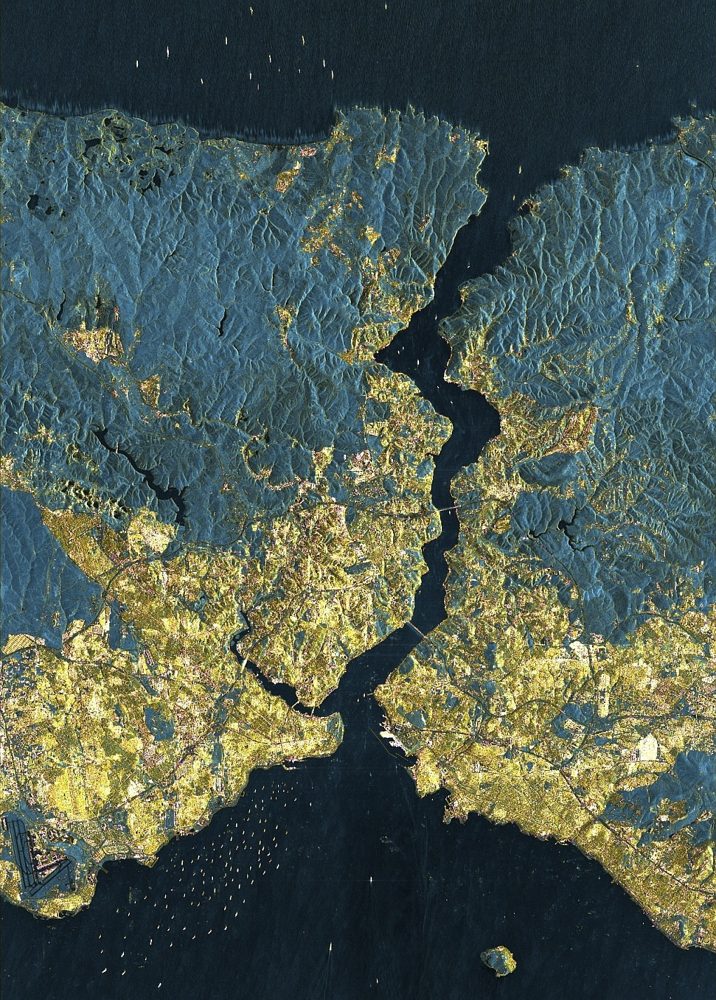
StriX (Small SAR Constellation)
Synspective (Japan)
A Japanese small-SAR satellite constellation. It offers 1 m-class resolution with day/night, all-weather observation, supports ground-displacement analysis and emergency disaster tasking, and pairs with analytics services.
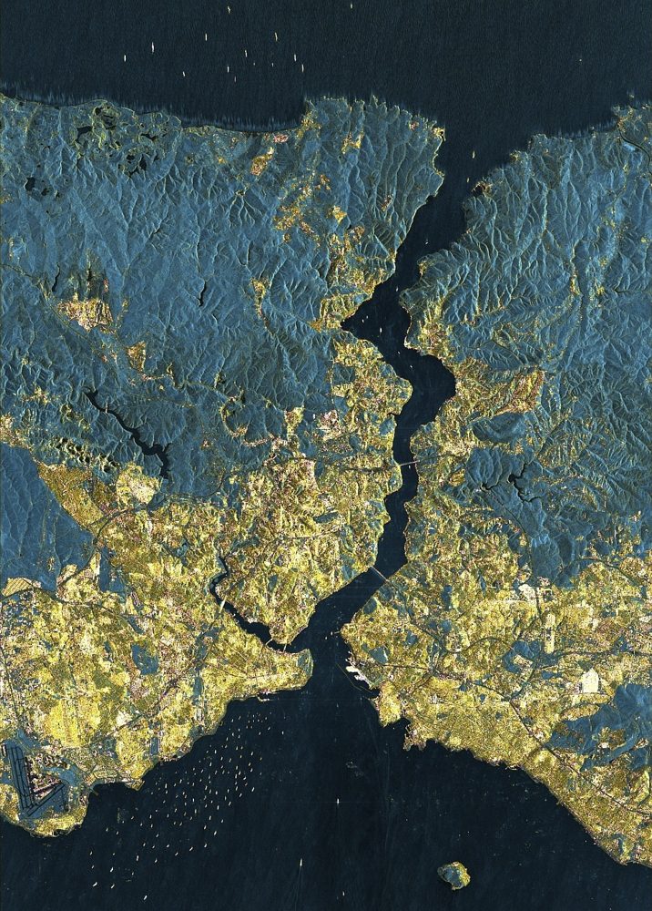
ICEYE SAR (25 cm-class SAR)
ICEYE (Finland)
One of the world's largest SAR constellations. It reaches a top-tier 25 cm SAR resolution and has a strong track record in damage assessment for the insurance industry during storms and floods.