Sentinel-1 (SAR)
Provider: ESA / Copernicus
A C-band Synthetic Aperture Radar (SAR) that observes day or night and through any weather. It delivers stable data for ground deformation and flood detection where optical sensors cannot see.
Sample imagery
Live imagery by location
Enter a place, address or country — or exact coordinates — to pull live satellite imagery for that location via a public API.
SourceCopernicus · Sentinel Hub SAR is captured on order. This preview shows an optical basemap of the location; order this dataset for the actual SAR scene.Geocoding © OpenStreetMap / Photon
Resolution
10 m
Revisit
6 days
Coverage
Global
License
Open license (commercial use OK)
Price
$0 — Free
Common use cases
- Subsidence monitoring
- Flood mapping
- Ship detection
- Infrastructure displacement
Related SAR (Radar) datasets
ALOS-2 PALSAR-2 (SAR)
JAXA
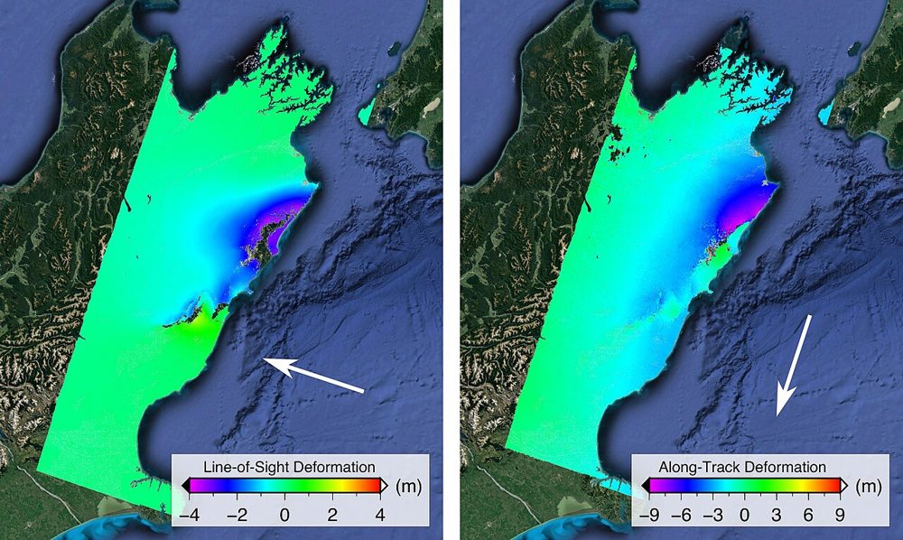
JAXA's L-band SAR satellite. Because it senses terrain change beneath vegetation, it excels at monitoring landslides and volcanic activity in forested areas. Emergency imagery during disasters is provided free of charge.
StriX (Small SAR Constellation)
Synspective (Japan)
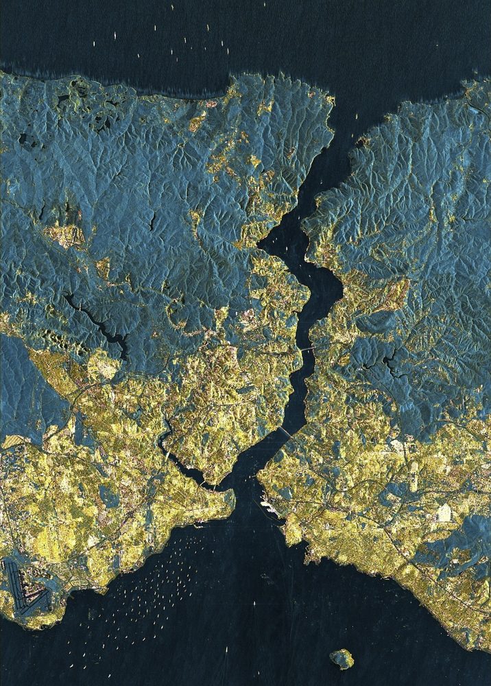
A Japanese small-SAR satellite constellation. It offers 1 m-class resolution with day/night, all-weather observation, supports ground-displacement analysis and emergency disaster tasking, and pairs with analytics services.
ICEYE SAR (25 cm-class SAR)
ICEYE (Finland)
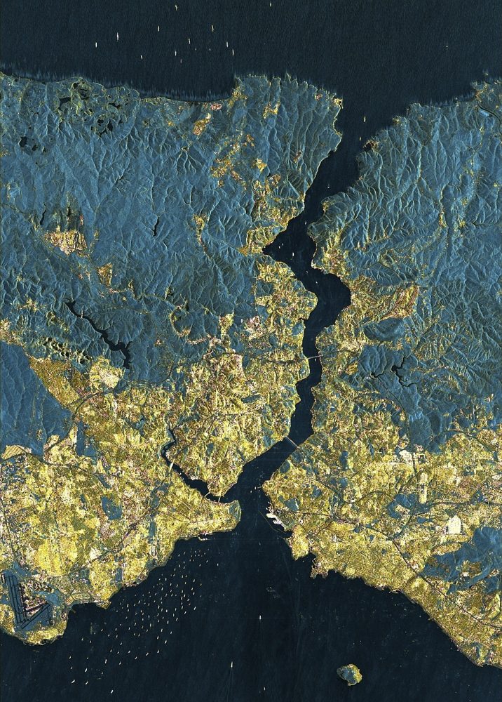
One of the world's largest SAR constellations. It reaches a top-tier 25 cm SAR resolution and has a strong track record in damage assessment for the insurance industry during storms and floods.