What Are the Limitations of Using Satellite Data for Land Use Analysis?
Satellite data has revolutionized the way we study and manage land use. It provides a wealth of information about the Earth's surface, including land cover, land use, and changes in these features over time. However, there are also limitations to using satellite data for land use analysis, which can impact the accuracy and effectiveness of the analysis.

Limitations Of Satellite Data For Land Use Analysis
Spatial Resolution
One of the key limitations of satellite data is its spatial resolution, which refers to the size of the smallest feature that can be distinguished in the data. Spatial resolution is determined by the sensor on the satellite and the altitude at which the satellite is orbiting.
- Impact on Land Use Analysis: Low spatial resolution can make it difficult to identify and map small land use features, such as individual buildings or narrow roads. This can lead to errors in land use classification and analysis.
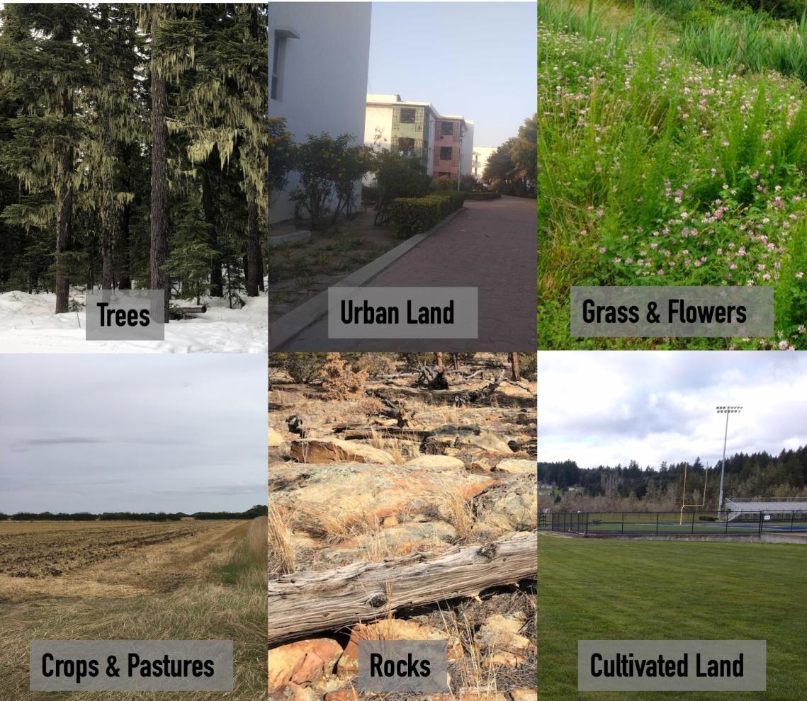
- Examples: A satellite image with a spatial resolution of 30 meters may not be able to distinguish between a small forest and a field, or between a residential area and a commercial area.
Temporal Resolution
Temporal resolution refers to the frequency with which satellite data is collected. This can vary from daily to monthly or even longer intervals, depending on the satellite and its orbit.
- Impact on Land Use Analysis: Low temporal resolution can make it difficult to capture rapid changes in land use, such as the construction of a new highway or the clearing of a forest. This can lead to outdated or inaccurate land use information.
- Examples: A satellite that collects data once a month may not be able to capture a land use change that occurs in the middle of the month. This could lead to the land use map being out of date and inaccurate.
Spectral Resolution
Spectral resolution refers to the range of wavelengths of light that a satellite sensor can detect. This determines the number of different colors or bands that can be used to classify land use features.
- Impact on Land Use Analysis: Low spectral resolution can make it difficult to distinguish between different land use features that have similar spectral signatures. This can lead to errors in land use classification and analysis.
- Examples: A satellite sensor with only a few spectral bands may not be able to distinguish between different types of vegetation, such as forests, grasslands, and croplands.
Atmospheric Interference

Satellite data can be affected by atmospheric interference, such as clouds, haze, and smoke. This can reduce the quality of the data and make it difficult to interpret.
- Impact on Land Use Analysis: Atmospheric interference can obscure land use features and make it difficult to accurately classify them. This can lead to errors in land use analysis.
- Examples: Clouds can block the view of the Earth's surface, making it impossible to collect satellite data. Haze and smoke can also reduce the quality of satellite data, making it difficult to distinguish between different land use features.
Cloud Cover
Cloud cover is a common problem for satellite data collection. Clouds can obscure the Earth's surface, making it impossible to collect data.
- Impact on Land Use Analysis: Cloud cover can prevent the collection of satellite data, leading to gaps in the data record. This can make it difficult to monitor land use changes over time and can lead to inaccurate land use analysis.
- Examples: Areas with frequent cloud cover, such as tropical regions, may have large gaps in their satellite data record. This can make it difficult to study land use changes in these areas.
Satellite data is a valuable tool for land use analysis, but it has limitations that can impact the accuracy and effectiveness of the analysis. These limitations include spatial resolution, temporal resolution, spectral resolution, atmospheric interference, and cloud cover. It is important to be aware of these limitations when using satellite data for land use analysis and to take steps to mitigate their effects.
Despite these limitations, satellite data remains a powerful tool for land use analysis. By understanding the limitations of satellite data and taking steps to mitigate their effects, we can use satellite data to gain valuable insights into land use patterns and changes.
YesNo

Leave a Reply