What Are the Different Types of Satellite Data Remote Sensing?
Satellite data remote sensing is the process of acquiring information about the Earth's surface and atmosphere from satellites orbiting the planet. It has revolutionized various fields, including environmental monitoring, land use planning, agriculture, and disaster management.
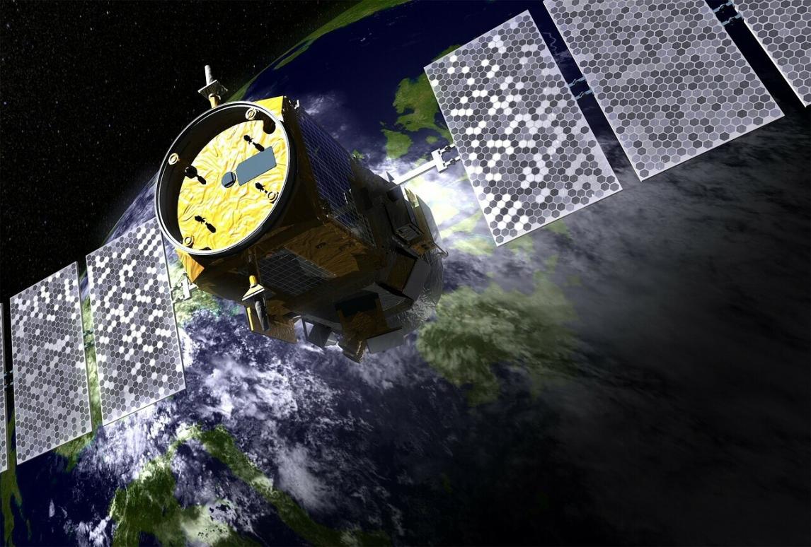
The process of satellite data remote sensing involves capturing electromagnetic radiation emitted or reflected by the Earth's surface using sensors on satellites. These sensors detect different wavelengths of radiation, ranging from visible light to microwaves, which are then processed and analyzed to extract valuable information.
Types Of Satellite Data Remote Sensing
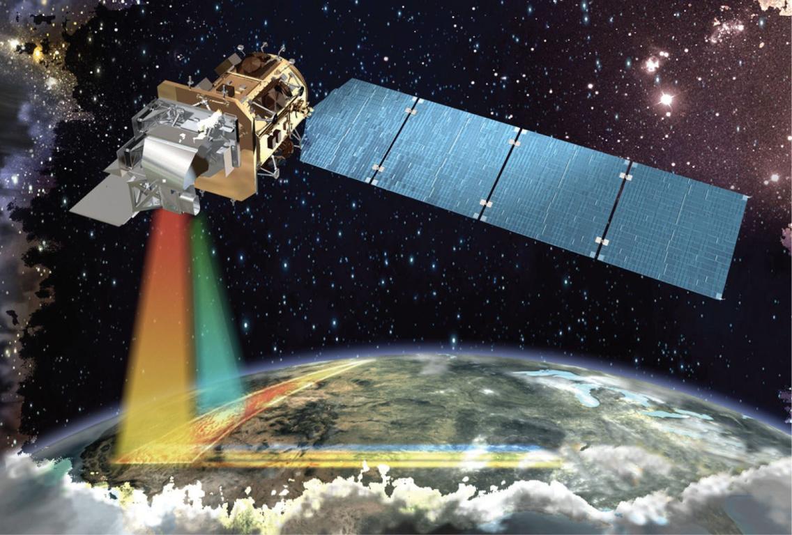
Optical Remote Sensing
Optical remote sensing utilizes visible and near-infrared wavelengths of the electromagnetic spectrum. It involves capturing images of the Earth's surface, similar to how a camera takes photographs.
- Characteristics: Optical remote sensing provides high-resolution images with detailed information about land cover, vegetation, and urban areas.
- Data Acquisition and Processing: Optical sensors collect data during daylight hours and require clear atmospheric conditions for accurate image acquisition.
- Applications: Optical remote sensing is widely used in land cover classification, vegetation monitoring, urban planning, and environmental impact assessment.
Radar Remote Sensing
Radar remote sensing employs active sensors that transmit microwave pulses towards the Earth's surface and record the reflected signals.
- Characteristics: Radar remote sensing can penetrate clouds and darkness, making it suitable for all-weather and nighttime applications.
- Data Acquisition and Processing: Radar sensors operate independently of sunlight and can collect data day and night.
- Applications: Radar remote sensing is used in terrain mapping, forest inventory, disaster management, and sea ice monitoring.
Thermal Remote Sensing
Thermal remote sensing measures the thermal radiation emitted by the Earth's surface. It provides information about surface temperature and heat patterns.
- Characteristics: Thermal remote sensing is particularly useful for studying land surface temperature, geothermal activity, and fire detection.
- Data Acquisition and Processing: Thermal sensors collect data in the infrared spectrum, which is not visible to the human eye.
- Applications: Thermal remote sensing is used in land surface temperature monitoring, geothermal exploration, fire detection, and energy efficiency studies.
Hyperspectral Remote Sensing
Hyperspectral remote sensing utilizes a large number of narrow spectral bands to capture detailed spectral information about the Earth's surface.
- Characteristics: Hyperspectral remote sensing provides highly detailed spectral signatures, allowing for precise identification of materials and minerals.
- Data Acquisition and Processing: Hyperspectral sensors collect data across hundreds or even thousands of spectral bands.
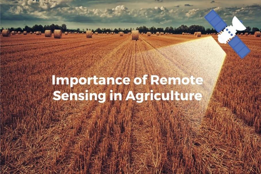
- Applications: Hyperspectral remote sensing is used in mineral exploration, precision agriculture, environmental monitoring, and coastal zone management.
Microwave Remote Sensing
Microwave remote sensing utilizes microwave wavelengths to study the Earth's surface and atmosphere. It is particularly useful for measuring soil moisture, sea ice, and atmospheric conditions.
- Characteristics: Microwave remote sensing can penetrate clouds and vegetation, making it suitable for all-weather applications.
- Data Acquisition and Processing: Microwave sensors operate at longer wavelengths, allowing for deeper penetration into the Earth's surface.
- Applications: Microwave remote sensing is used in soil moisture monitoring, sea ice mapping, weather forecasting, and oceanographic studies.
Advantages And Disadvantages Of Satellite Data Remote Sensing
Advantages
- Wide Area Coverage and Repetitive Observations: Satellites can collect data over large areas and revisit the same location regularly, providing continuous monitoring.
- Cost-Effective and Efficient Data Collection: Satellite data remote sensing is a cost-effective way to collect data over vast areas, making it accessible to a wide range of users.
- Non-Invasive and Environmentally Friendly: Satellite data remote sensing is a non-invasive and environmentally friendly method of data collection, causing minimal disturbance to the environment.
Disadvantages
- Limited Spatial and Temporal Resolution: The spatial and temporal resolution of satellite data can be limited, depending on the sensor's capabilities and the satellite's orbit.
- Atmospheric Interference and Cloud Cover: Atmospheric conditions, such as clouds and aerosols, can interfere with data collection and affect the accuracy of the data.
- Data Processing and Interpretation Challenges: Satellite data processing and interpretation can be complex and require specialized skills and software, which can limit accessibility.
Satellite data remote sensing has revolutionized the way we study and monitor the Earth's surface and atmosphere. It provides valuable information for various fields, including environmental monitoring, land use planning, agriculture, and disaster management. As technology continues to advance, satellite data remote sensing will play an increasingly important role in addressing global challenges and promoting sustainable development.
YesNo

Leave a Reply