What Are the Benefits of Using Satellite Data Remote Sensing for Business?
In today's data-driven business landscape, satellite data remote sensing has emerged as a transformative technology, providing businesses with valuable insights and decision-making capabilities. This technology harnesses the power of satellites to collect and analyze data about the Earth's surface, enabling businesses to monitor assets, track changes, and make informed decisions.
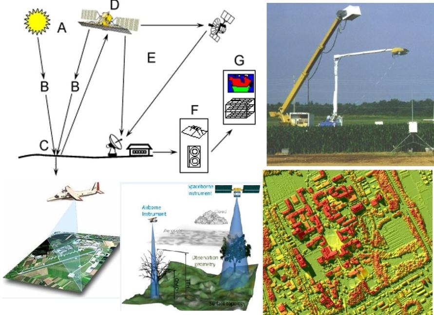
Types Of Satellite Data Remote Sensing
Satellite data remote sensing encompasses various types of data collection, each with unique characteristics and applications:
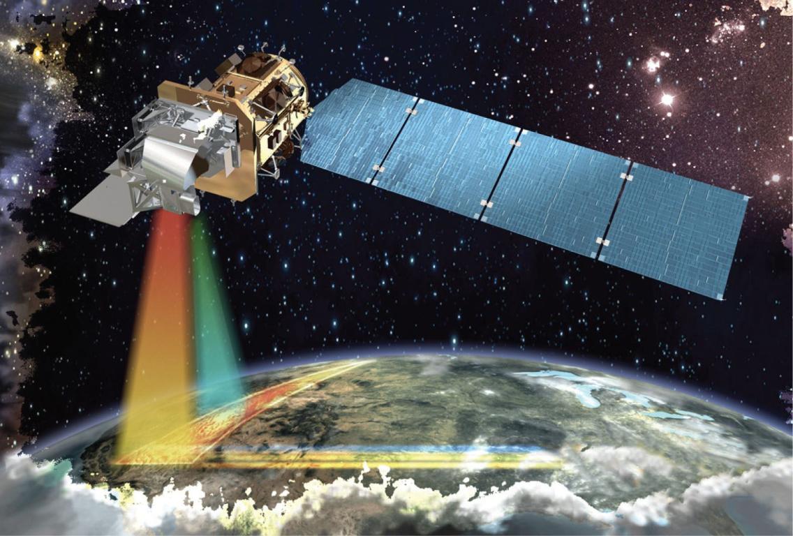
- Optical Data: Optical satellites capture images of the Earth's surface in visible and near-infrared wavelengths. These images are used for land use mapping, agriculture monitoring, and environmental studies.
- Radar Data: Radar satellites emit microwave pulses to collect data, regardless of weather conditions or darkness. Radar data is used for forest monitoring, disaster management, and geological surveys.
- Hyperspectral Data: Hyperspectral satellites collect data across hundreds of narrow spectral bands, providing detailed information about the chemical composition of materials on the Earth's surface. Hyperspectral data is used for mineral exploration, environmental monitoring, and precision agriculture.
Benefits Of Satellite Data Remote Sensing For Business
The use of satellite data remote sensing offers numerous benefits for businesses across various industries:
Cost-Effective Monitoring:
- Satellite data provides cost-effective monitoring of large areas, eliminating the need for expensive field surveys.
- Real-time data collection enables proactive decision-making, reducing operational costs and improving efficiency.
Improved Crop Management:
- Satellite data helps farmers monitor crop health, detect diseases, and optimize irrigation schedules, leading to increased yields and reduced costs.
- Remote sensing data provides insights into soil moisture, vegetation indices, and crop yield estimation, enabling precision agriculture practices.
Enhanced Infrastructure Planning:
- Satellite data aids in identifying suitable locations for infrastructure projects, such as roads, railways, and power lines, reducing project risks and costs.
- Remote sensing data helps assess environmental impact and land use changes, ensuring sustainable infrastructure development.
Efficient Natural Resource Management:
- Satellite data assists in monitoring deforestation, water resources, and mineral exploration, supporting sustainable resource management practices.
- Remote sensing data provides valuable information for conservation efforts, helping businesses minimize their environmental impact.
Disaster Management and Response:
- Satellite data aids in disaster preparedness, early warning systems, and damage assessment, reducing the impact of natural disasters on businesses and communities.
- Remote sensing data helps monitor natural disasters such as floods, wildfires, and earthquakes, enabling timely response and recovery efforts.
Challenges And Limitations Of Satellite Data Remote Sensing
While satellite data remote sensing offers significant benefits, it also presents certain challenges:
Data Volume and Processing:
- Managing and processing large volumes of satellite data can be challenging, requiring specialized software and skilled professionals.
- Data analysis can be complex and time-consuming, potentially delaying decision-making.
Cloud Cover and Atmospheric Interference:
- Cloud cover and atmospheric conditions can affect the quality and availability of satellite data, leading to data gaps and inconsistencies.
- Techniques such as atmospheric correction algorithms and multi-temporal data analysis are used to address these challenges.
Future Trends And Advancements
The future of satellite data remote sensing holds promising advancements:
Integration with Artificial Intelligence (AI) and Machine Learning (ML):
- AI and ML algorithms can enhance satellite data analysis and interpretation, enabling automated data processing and improved decision-making.
- These technologies can help identify patterns, detect anomalies, and make accurate predictions based on satellite data.
Increased Satellite Constellation and Data Availability:
- The growing number of satellite constellations is increasing data availability and resolution, providing more frequent and detailed Earth observation data.
- This trend will further enhance the capabilities and applications of satellite data remote sensing.
Integration with IoT and Edge Computing:
- Integrating satellite data with IoT devices and edge computing enables real-time monitoring and decision-making.
- Decentralized data processing and reduced latency can improve operational efficiency and responsiveness.
Satellite data remote sensing has revolutionized the way businesses monitor assets, track changes, and make informed decisions. Its benefits, ranging from cost-effective monitoring to improved crop management and disaster response, are transforming industries and driving sustainable business practices. As technology continues to advance, the integration of AI, ML, and IoT with satellite data will further unlock the potential of this technology, empowering businesses to thrive in a data-driven world.
YesNo

Leave a Reply