Disaster response: flood & deformation with SAR
SAR sees through clouds day and night. Compare before/after scenes to map water extent and ground movement fast.
Search “flood”
Search the event type. The topic page surfaces SAR datasets that image regardless of cloud or darkness.
Choose SAR
For floods, filter to SAR. Sentinel-1 (free) gives broad coverage; ICEYE/StriX add sub-metre, rapid-revisit tasking.
Inspect & set AOI
Check revisit and coverage, review sample SAR imagery, and draw the affected area as your AOI.
Get before & after
Acquire one pre-event and one post-event scene (free download or API) over the same AOI.
Change detection
Difference the two SAR scenes: a drop in backscatter over land reveals standing water — your flood mask.
Deliver the flood map
Overlay the flood mask on a basemap, export to GIS, and share for response teams and claims.
Что вы получите
A flood-extent (or displacement) map ready for emergency response and insurance assessment.
Рекомендуемые наборы данных
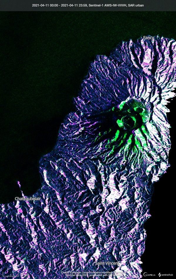
Sentinel-1 (SAR)
ESA / Copernicus
A C-band Synthetic Aperture Radar (SAR) that observes day or night and through any weather. It delivers stable data for ground deformation and flood detection where optical sensors cannot see.
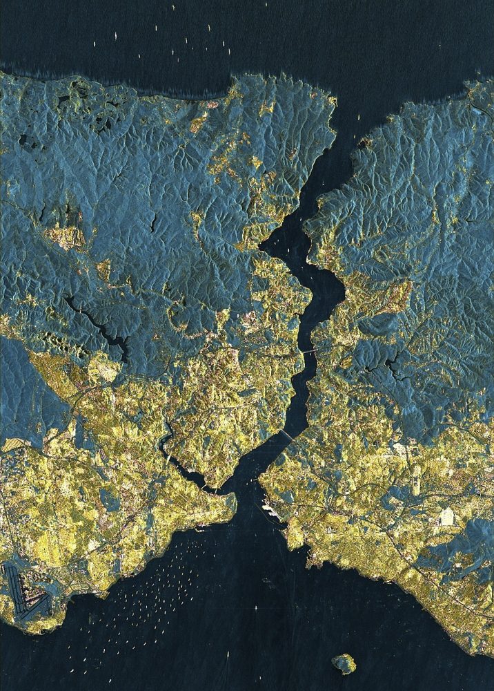
ICEYE SAR (25 cm-class SAR)
ICEYE (Finland)
One of the world's largest SAR constellations. It reaches a top-tier 25 cm SAR resolution and has a strong track record in damage assessment for the insurance industry during storms and floods.
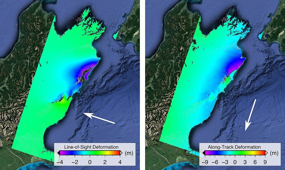
ALOS-2 PALSAR-2 (SAR)
JAXA
JAXA's L-band SAR satellite. Because it senses terrain change beneath vegetation, it excels at monitoring landslides and volcanic activity in forested areas. Emergency imagery during disasters is provided free of charge.
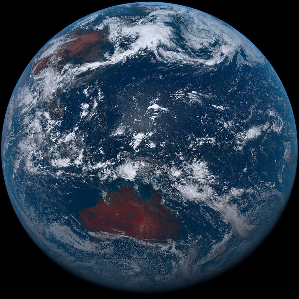
Himawari-8/9 (Weather)
JMA (Japan Meteorological Agency)
A geostationary weather satellite. Its 10-minute observation cadence lets you track clouds, typhoons and volcanic plumes in near real time, streaming 16 spectral bands.