Sentinel-1 (SAR)
Поставщик: ESA / Copernicus
A C-band Synthetic Aperture Radar (SAR) that observes day or night and through any weather. It delivers stable data for ground deformation and flood detection where optical sensors cannot see.
Примеры снимков
Снимки в реальном времени по местоположению
Введите место, адрес или страну — или точные координаты — чтобы получить спутниковые снимки этого места через публичный API.
ИсточникCopernicus · Sentinel Hub SAR снимается по заказу. Этот предпросмотр показывает оптическую базовую карту; закажите этот набор данных для получения реальной сцены SAR.Geocoding © OpenStreetMap / Photon
Разрешение
10 m
Периодичность
6 days
Охват
Global
Лицензия
Open license (commercial use OK)
Цена
$0 — Бесплатно
Типичные сценарии применения
- Subsidence monitoring
- Flood mapping
- Ship detection
- Infrastructure displacement
Связанные наборы данных SAR (Радар)
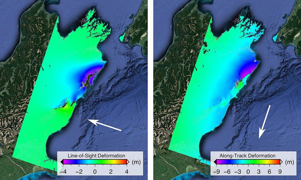
ALOS-2 PALSAR-2 (SAR)
JAXA
JAXA's L-band SAR satellite. Because it senses terrain change beneath vegetation, it excels at monitoring landslides and volcanic activity in forested areas. Emergency imagery during disasters is provided free of charge.
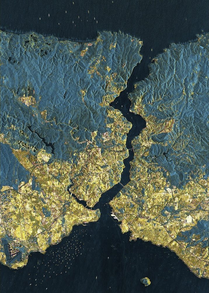
StriX (Small SAR Constellation)
Synspective (Japan)
A Japanese small-SAR satellite constellation. It offers 1 m-class resolution with day/night, all-weather observation, supports ground-displacement analysis and emergency disaster tasking, and pairs with analytics services.
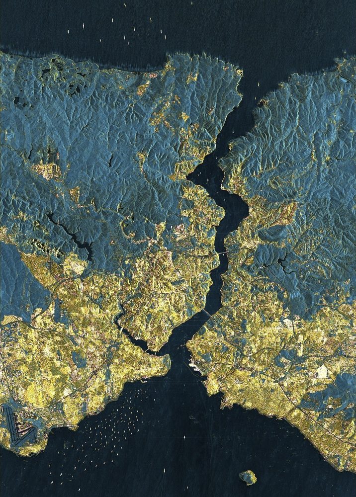
ICEYE SAR (25 cm-class SAR)
ICEYE (Finland)
One of the world's largest SAR constellations. It reaches a top-tier 25 cm SAR resolution and has a strong track record in damage assessment for the insurance industry during storms and floods.