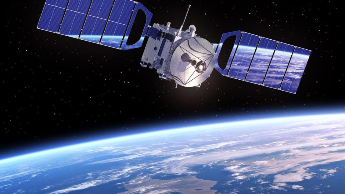
How Can Satellite Data Improve Our Understanding of Earth's Climate?
Satellite data has revolutionized our ability to study and understand Earth's climate. By providing a comprehensive and continuous view of the Earth system, satellites have enabled scientists to monitor climate variables, study atmospheric processes, and track changes in the oceans, cryosphere, and land surface. This wealth of information has greatly improved our understanding of climate variability, climate change, and the complex interactions within the Earth system.

Applications Of Satellite Data In Climate Research
Satellites play a crucial role in climate research across various domains:
A. Monitoring Climate Variables:
- Satellites continuously measure temperature, precipitation, and other climate variables, providing global coverage and long-term records.
- Satellite missions such as the Moderate Resolution Imaging Spectroradiometer (MODIS) and the Clouds and the Earth's Radiant Energy System (CERES) have been instrumental in monitoring climate variables.
B. Studying Atmospheric Processes:
- Satellite data helps scientists understand cloud formation, atmospheric circulation, and weather patterns.
- Observations from satellites like the Tropical Rainfall Measuring Mission (TRMM) and the Global Precipitation Measurement (GPM) mission have improved our understanding of precipitation processes.
C. Ocean and Cryosphere Monitoring:
- Satellites track sea surface temperatures, sea level, and ice cover, providing crucial data for climate modeling and prediction.
- Satellite missions like the Jason series and the CryoSat-2 mission have provided valuable insights into sea level rise and changes in ice sheets.
D. Land Surface Monitoring:
- Satellite data is used to monitor vegetation, land use changes, and soil moisture, contributing to understanding the carbon cycle and climate feedback mechanisms.
- Missions like the Landsat program and the Sentinel-2 mission provide high-resolution imagery for land surface monitoring.
Benefits Of Satellite Data For Climate Understanding
Satellite data offers several advantages for climate understanding:
A. Global Coverage and Consistency:
- Satellites provide global coverage, allowing for comprehensive monitoring of climate variables across the entire Earth.
- Satellite data offers long-term consistency, enabling the detection of long-term trends and changes in climate.
B. Accuracy and Precision:
- Satellite measurements are highly accurate and precise, ensuring reliable climate analysis.
- Satellite-derived climate data products have been validated against other sources, confirming their accuracy and reliability.
C. Multi-Parameter Observations:
- Satellites can simultaneously measure multiple climate variables, providing a comprehensive view of the Earth system.
- Multi-parameter observations are essential for understanding climate interactions and feedbacks.
Challenges And Limitations Of Satellite Data

Despite the immense value of satellite data, there are challenges and limitations:
A. Data Volume and Processing:
- The vast amount of satellite data poses challenges in data management, storage, and processing.
- Efficient data storage, retrieval, and analysis systems are needed to handle the large data volumes.
B. Calibration and Validation:
- Calibrating and validating satellite data is crucial to ensure accuracy and reliability.
- Various methods are used for calibrating and validating satellite measurements, including ground-based observations and inter-satellite comparisons.
C. Data Gaps and Uncertainties:
- Data gaps and uncertainties exist in satellite observations due to factors like cloud cover and instrument limitations.
- These gaps and uncertainties can impact climate studies and projections.
Satellite data has revolutionized our understanding of Earth's climate. By providing global, consistent, and accurate observations, satellites have enabled scientists to monitor climate variables, study atmospheric processes, and track changes in the oceans, cryosphere, and land surface. This wealth of information has greatly improved our understanding of climate variability, climate change, and the complex interactions within the Earth system. Continued satellite observations are essential for advancing climate research, monitoring climate change, and informing climate adaptation and mitigation strategies.
Future directions for satellite data applications in climate studies include:
- Developing new satellite missions with enhanced capabilities for measuring climate variables.
- Improving data processing and analysis techniques to extract more information from satellite data.
- Fostering collaboration between satellite data providers, climate scientists, and policymakers to ensure that satellite data is effectively used for climate research and decision-making.
By harnessing the power of satellite data, we can continue to deepen our understanding of Earth's climate and address the challenges posed by climate change.
YesNo

Leave a Reply