How Can Satellite Data Be Used to Track Extreme Weather Events?
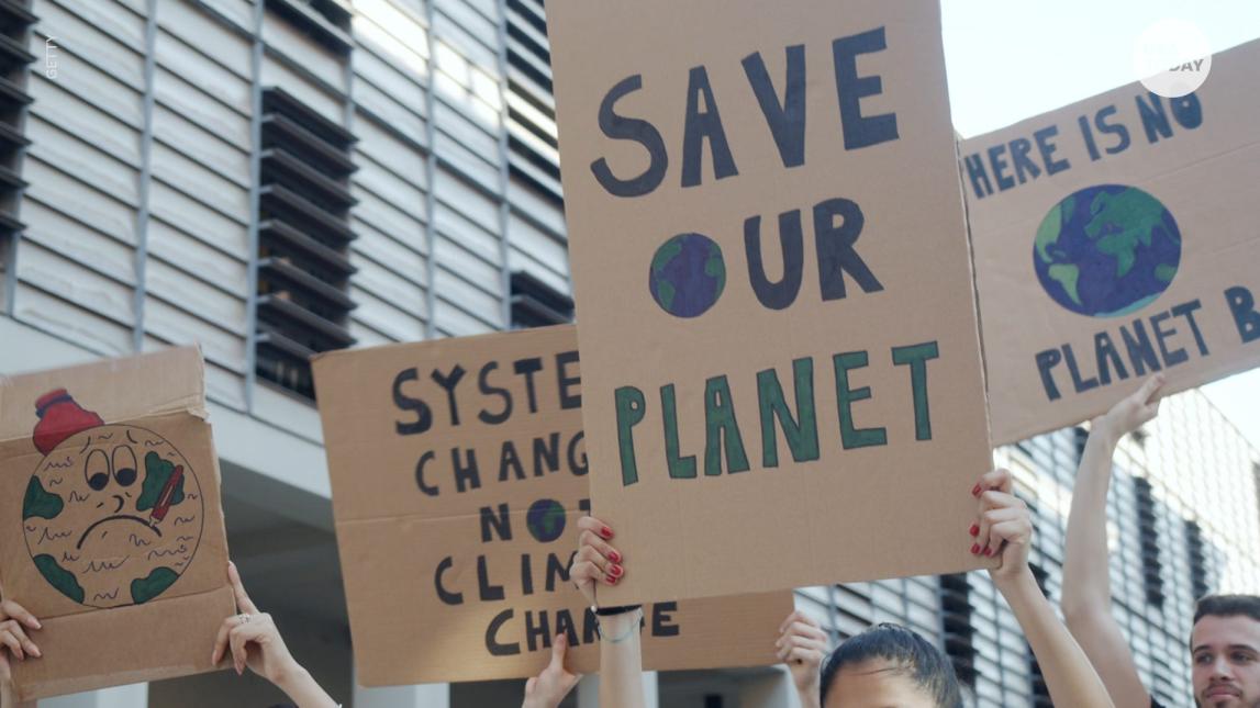
Extreme weather events, such as hurricanes, tornadoes, floods, and droughts, have a devastating impact on society, causing loss of life, property damage, and economic disruption. Accurate and timely tracking of these events is crucial for issuing early warnings, evacuating affected areas, and coordinating disaster response efforts.
Satellite data has emerged as a valuable tool for tracking extreme weather events. Satellites provide a unique perspective from space, allowing scientists and meteorologists to monitor the Earth's atmosphere, oceans, and land surface in real-time. This data can be used to improve our understanding of these events, predict their behavior, and mitigate their impact.
Types Of Extreme Weather Events Tracked By Satellites
- Tropical cyclones (hurricanes, typhoons, and cyclones)
- Severe thunderstorms and tornadoes
- Winter storms and blizzards
- Floods and droughts
- Heat waves and cold spells
Satellite Data Collection Methods
Satellites use various technologies to collect data about the Earth's weather and climate. These technologies include:
- Geostationary satellites: These satellites are positioned in a fixed orbit above the Earth's equator, allowing them to continuously monitor a specific region.
- Polar-orbiting satellites: These satellites orbit the Earth from pole to pole, covering the entire Earth's surface multiple times per day.
- Passive satellites: These satellites measure naturally emitted radiation from the Earth's surface and atmosphere.
- Active satellites: These satellites emit their own signals and measure the reflected or scattered signals.
Satellite Data Products Used For Tracking Extreme Weather Events
Satellites collect a wide range of data that can be used to track extreme weather events. These data products include:
- Satellite imagery: Provides visual information about cloud patterns, storm structure, and land surface conditions.
- Atmospheric soundings: Measure temperature, humidity, and wind speed at different levels of the atmosphere.
- Precipitation estimates: Provide information about the amount and distribution of rainfall or snowfall.
- Sea surface temperature measurements: Help identify warm ocean currents that can fuel tropical cyclones.
Applications Of Satellite Data In Extreme Weather Event Tracking
Satellite data is used in a variety of applications to track extreme weather events, including:
- Nowcasting: Provides short-term forecasts of severe weather events, allowing for timely warnings and evacuations.
- Numerical weather prediction: Satellite data is assimilated into computer models to improve the accuracy of weather forecasts.
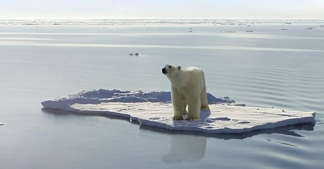
- Climate monitoring: Satellite data is used to study long-term trends in extreme weather events and their relationship to climate change.
- Disaster response and recovery: Satellite data is used to assess the extent of damage caused by extreme weather events and to support relief efforts.
Satellite data plays a crucial role in tracking extreme weather events and improving our ability to predict and mitigate their impact. By providing real-time information about the Earth's atmosphere, oceans, and land surface, satellites help meteorologists and scientists better understand these events and issue timely warnings. As satellite technology continues to advance, we can expect even more accurate and comprehensive data that will further enhance our ability to protect lives and property from extreme weather events.
YesNo

Leave a Reply