How Can Satellite Data Be Used to Identify Areas of Drought or Water Stress?
Drought and water stress are major challenges that affect agriculture, water resources, and ecosystems worldwide. Identifying areas experiencing these conditions is crucial for implementing effective mitigation strategies and managing water resources sustainably.
Satellite data offers a powerful tool for monitoring drought and water stress. Satellites can collect various types of data that provide valuable information about the Earth's surface, vegetation, and water bodies. This data can be analyzed to identify areas where drought or water stress is occurring.
Satellite Data Sources
- Optical Satellites: These satellites capture images of the Earth's surface in visible and near-infrared wavelengths. Optical data can be used to monitor vegetation health, land surface temperature, and water bodies.
- Thermal Satellites: Thermal satellites measure the Earth's surface temperature. Thermal data can be used to identify areas with high temperatures and water stress.
- Radar Satellites: Radar satellites send pulses of microwave energy to the Earth's surface and measure the reflected signals. Radar data can be used to monitor soil moisture, vegetation structure, and flooding.
- LiDAR Satellites: LiDAR satellites measure the distance between the satellite and the Earth's surface using laser pulses. LiDAR data can be used to create detailed topographic maps and monitor changes in vegetation height.
Methods For Identifying Drought And Water Stress
- Vegetation Indices: Vegetation indices are mathematical combinations of different spectral bands that are used to assess vegetation health and vigor. Common vegetation indices include the Normalized Difference Vegetation Index (NDVI) and the Enhanced Vegetation Index (EVI).
- Land Surface Temperature: Land surface temperature data can be used to identify areas with high temperatures and water stress. High temperatures can indicate a lack of available water, while low temperatures may indicate excessive moisture.
- Soil Moisture: Soil moisture data can be used to monitor the amount of water in the soil. Low soil moisture levels can indicate drought conditions, while high soil moisture levels may indicate flooding.
- Evapotranspiration: Evapotranspiration is the process by which water evaporates from the Earth's surface and transpires from plants. Evapotranspiration data can be used to estimate the amount of water lost from an area and identify areas with water stress.
Applications Of Satellite Data In Drought And Water Stress Monitoring
- Drought Monitoring: Satellite data is used to monitor drought conditions and provide early warnings of impending droughts. This information helps governments and organizations implement drought preparedness and mitigation measures.
- Water Resources Management: Satellite data is used to monitor water resources and identify areas with water scarcity. This information helps water managers allocate water resources more efficiently and prioritize areas for conservation.
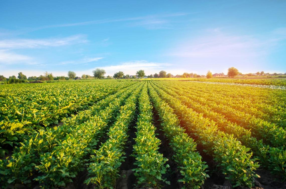
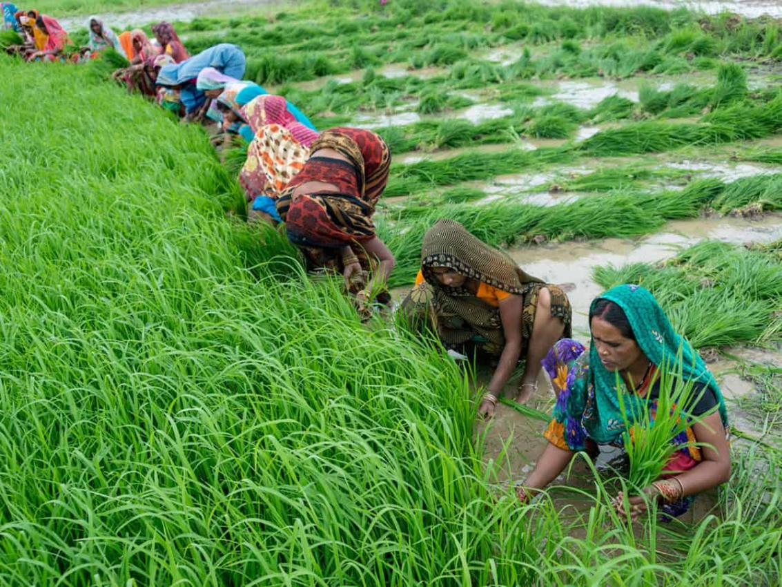
- Agricultural Management: Satellite data is used to monitor crop health and identify areas with agricultural drought. This information helps farmers make informed decisions about irrigation practices and crop management.
- Environmental Monitoring: Satellite data is used to monitor the impacts of drought and water stress on ecosystems. This information helps scientists understand the ecological consequences of these conditions and develop strategies for conservation and restoration.
Current Challenges And Future Directions
- Data Availability: Satellite data can be expensive and difficult to access, especially for developing countries.
- Data Quality: Satellite data can be affected by factors such as cloud cover, atmospheric conditions, and sensor calibration, which can impact the accuracy of drought and water stress monitoring.
- Data Integration: Integrating data from different satellite sources and other data sources, such as ground-based observations, can be challenging.
Ongoing research and technological advancements are addressing these challenges and improving the capabilities of satellite data for drought and water stress monitoring. Future directions include the development of new satellite sensors with improved spatial and temporal resolution, the integration of satellite data with other data sources, and the development of new methods for analyzing and interpreting satellite data.
Satellite data is a valuable tool for identifying areas of drought or water stress. Satellite data can be used to monitor vegetation health, land surface temperature, soil moisture, and evapotranspiration. This information can be used to support drought monitoring, water resources management, agricultural management, and environmental monitoring. Ongoing research and technological advancements are improving the capabilities of satellite data for drought and water stress monitoring, which will further enhance its role in addressing these critical challenges.
YesNo

Leave a Reply