Infrastructure: progress & displacement monitoring
Track construction progress with very-high-resolution optical, and detect millimetre ground movement with InSAR.
Search “infrastructure”
Search your asset type. The topic page lists high-resolution optical and SAR sources for monitoring.
VHR optical + SAR
PlanetScope/WorldView for visual progress; StriX/Sentinel-1 for displacement. Compare price and resolution.
Inspect & set AOI
Confirm 30 cm–3 m resolution and revisit, then set the site or corridor as your AOI.
Order a time stack
Order recurring scenes over the AOI (or automate via API) to build a consistent time series.
InSAR & change detection
Stack SAR for InSAR displacement (mm-scale), and compare optical scenes to quantify build progress.
Deliver the report
Publish a progress timeline and a displacement heat-map to your GIS/asset dashboard.
Qué obtienes
A progress timeline and a displacement map for asset management and safety.
Conjuntos de datos recomendados
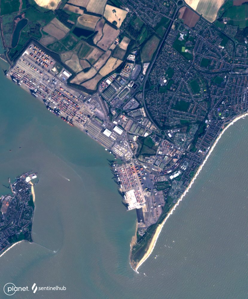
PlanetScope (3 m, near-daily)
Planet Labs PBC
A constellation of roughly 130 microsatellites images the entire land surface almost every day. Ideal when you cannot afford to miss any change—construction progress or anomaly detection on farmland.
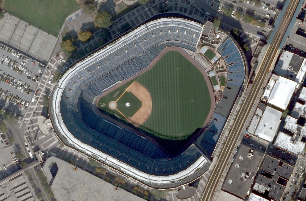
WorldView Legion (30 cm-class, very high resolution)
Maxar Technologies
Best-in-class commercial 30 cm resolution. Individual vehicles and structures are identifiable, making it a fit for real-estate due diligence, insurance loss adjustment and critical-infrastructure monitoring.
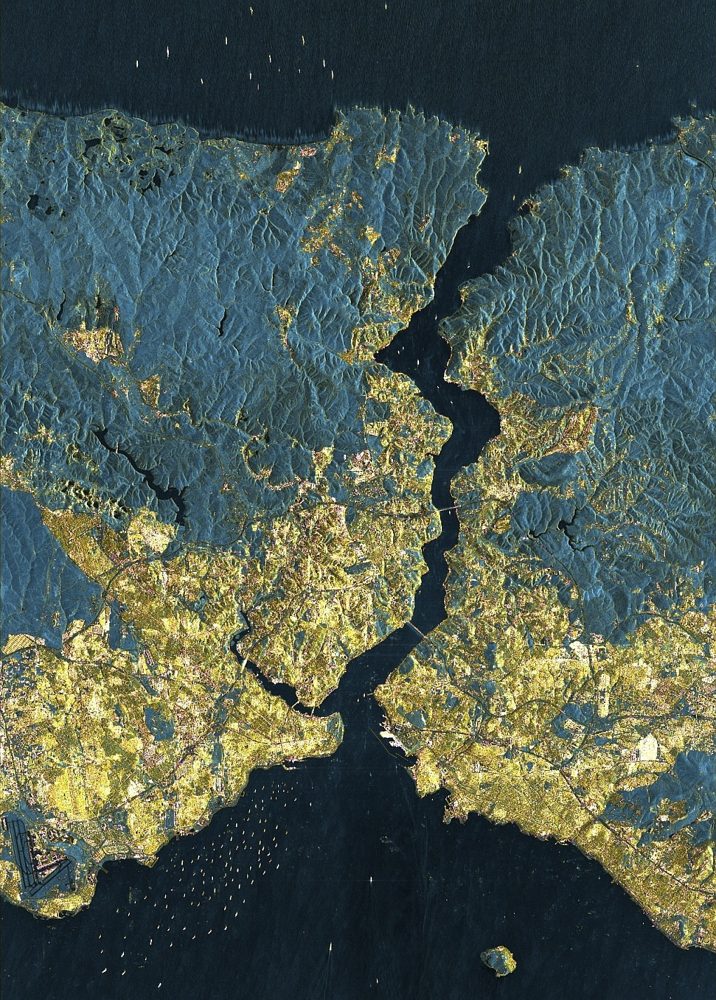
StriX (Small SAR Constellation)
Synspective (Japan)
A Japanese small-SAR satellite constellation. It offers 1 m-class resolution with day/night, all-weather observation, supports ground-displacement analysis and emergency disaster tasking, and pairs with analytics services.
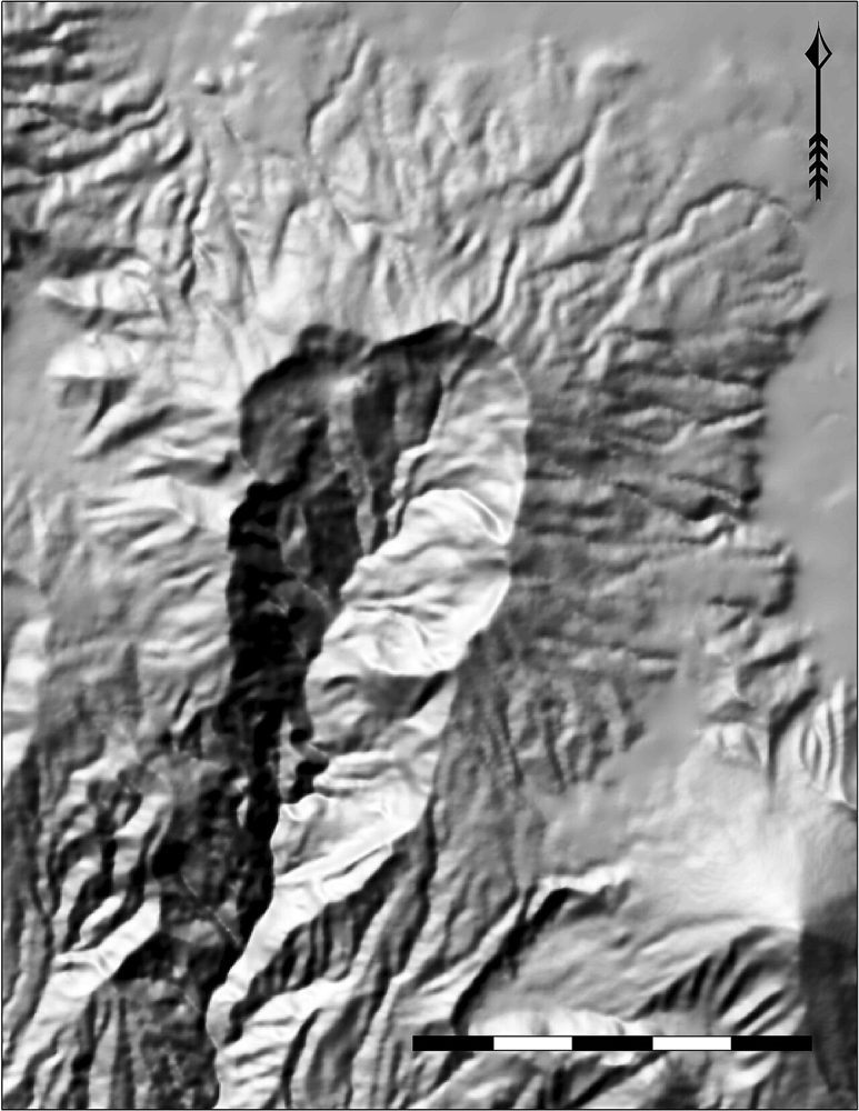
ALOS Global Digital Surface Model (AW3D30)
JAXA
A global 30 m Digital Surface Model (DSM) generated from ALOS stereo observations. It is the base layer for terrain analysis, flood simulation and line-of-sight studies.