WorldView Legion (30 cm-class, very high resolution)
Proveedor: Maxar Technologies
Best-in-class commercial 30 cm resolution. Individual vehicles and structures are identifiable, making it a fit for real-estate due diligence, insurance loss adjustment and critical-infrastructure monitoring.
Imágenes de muestra
Imagen representativa de este tipo de datos (no es una captura real de este producto).Imágenes en vivo por ubicación
Introduce un lugar, dirección o país — o coordenadas exactas — para ver imágenes satelitales en vivo a través de una API pública.
FuenteCopernicus · Sentinel Hub Mapa base óptico en color verdadero como contexto de ubicación.Geocoding © OpenStreetMap / Photon
Resolución
30 cm
Revisita
1 day (key sites)
Cobertura
Global (tasking)
Licencia
Commercial license
Precio
$1,200+ / escena
Casos de uso comunes
- Insurance loss adjustment
- Infrastructure inspection
- Urban planning
- Defense & security
Datasets Óptico relacionados
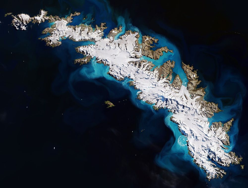
Sentinel-2 (Optical, Multispectral)
ESA / Copernicus
The optical satellite of ESA's Copernicus Earth-observation programme. Its 13-band multispectral data is the most widely used free source for vegetation indices (NDVI), water detection and land-cover analysis.
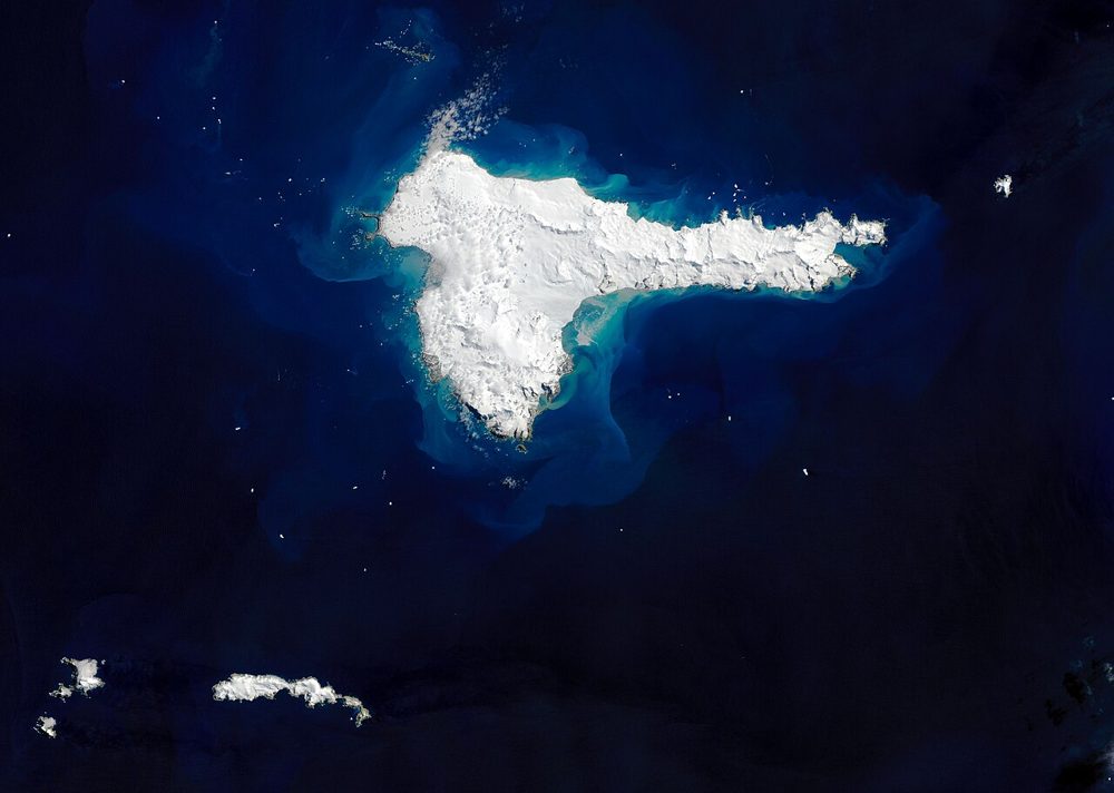
Landsat 8/9 (Optical, Thermal IR)
NASA / USGS
The world's longest Earth-observation archive, running since 1972. Its 50-year time series is unmatched for long-term change analysis, and the thermal infrared band also captures land-surface temperature.
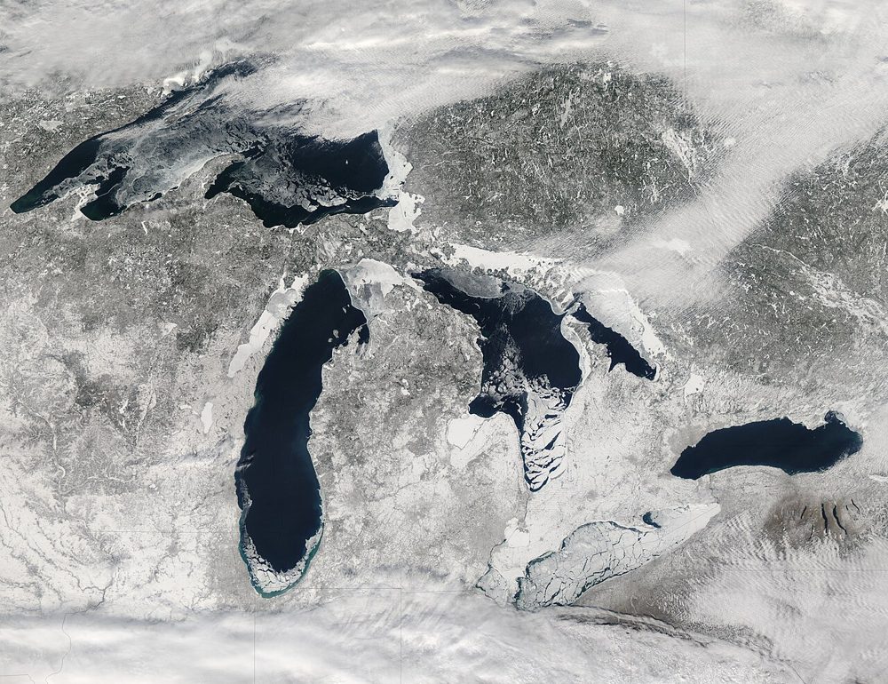
MODIS (Terra/Aqua)
NASA
A 36-band wide-swath sensor. Though coarse in resolution, it covers the entire globe almost daily and is the workhorse for large-scale vegetation, fire and ocean-color monitoring, with a rich set of standard products.