PlanetScope (3 m, near-daily)
Поставщик: Planet Labs PBC
A constellation of roughly 130 microsatellites images the entire land surface almost every day. Ideal when you cannot afford to miss any change—construction progress or anomaly detection on farmland.
Примеры снимков
Снимки в реальном времени по местоположению
Введите место, адрес или страну — или точные координаты — чтобы получить спутниковые снимки этого места через публичный API.
ИсточникCopernicus · Sentinel Hub Оптическая базовая карта в натуральных цветах как контекст местоположения.Geocoding © OpenStreetMap / Photon
Разрешение
3 m
Периодичность
Daily
Охват
Global (land)
Лицензия
Commercial license
Цена
$300+ / сцена
Типичные сценарии применения
- Construction progress
- Farmland anomaly detection
- Supply-chain monitoring
Связанные наборы данных Оптический
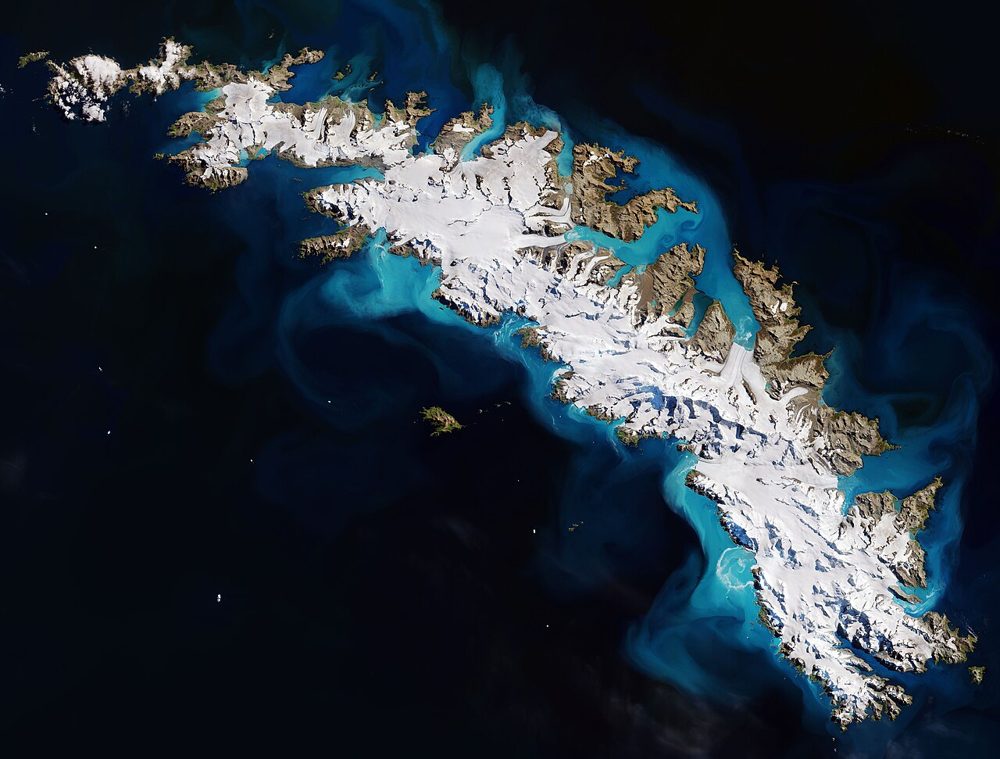
Sentinel-2 (Optical, Multispectral)
ESA / Copernicus
The optical satellite of ESA's Copernicus Earth-observation programme. Its 13-band multispectral data is the most widely used free source for vegetation indices (NDVI), water detection and land-cover analysis.

Landsat 8/9 (Optical, Thermal IR)
NASA / USGS
The world's longest Earth-observation archive, running since 1972. Its 50-year time series is unmatched for long-term change analysis, and the thermal infrared band also captures land-surface temperature.
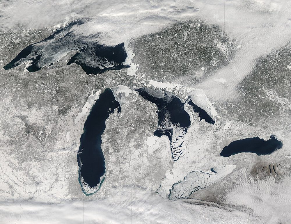
MODIS (Terra/Aqua)
NASA
A 36-band wide-swath sensor. Though coarse in resolution, it covers the entire globe almost daily and is the workhorse for large-scale vegetation, fire and ocean-color monitoring, with a rich set of standard products.