PlanetScope (3 m, near-daily)
Fournisseur: Planet Labs PBC
A constellation of roughly 130 microsatellites images the entire land surface almost every day. Ideal when you cannot afford to miss any change—construction progress or anomaly detection on farmland.
Images d'exemple
Images en direct par localisation
Entrez un lieu, une adresse ou un pays — ou des coordonnées exactes — pour obtenir des images satellitaires en direct via une API publique.
SourceCopernicus · Sentinel Hub Carte de base optique en vraies couleurs comme contexte de localisation.Geocoding © OpenStreetMap / Photon
Résolution
3 m
Revisite
Daily
Couverture
Global (land)
Licence
Commercial license
Prix
$300+ / scène
Cas d'usage courants
- Construction progress
- Farmland anomaly detection
- Supply-chain monitoring
Datasets Optique associés
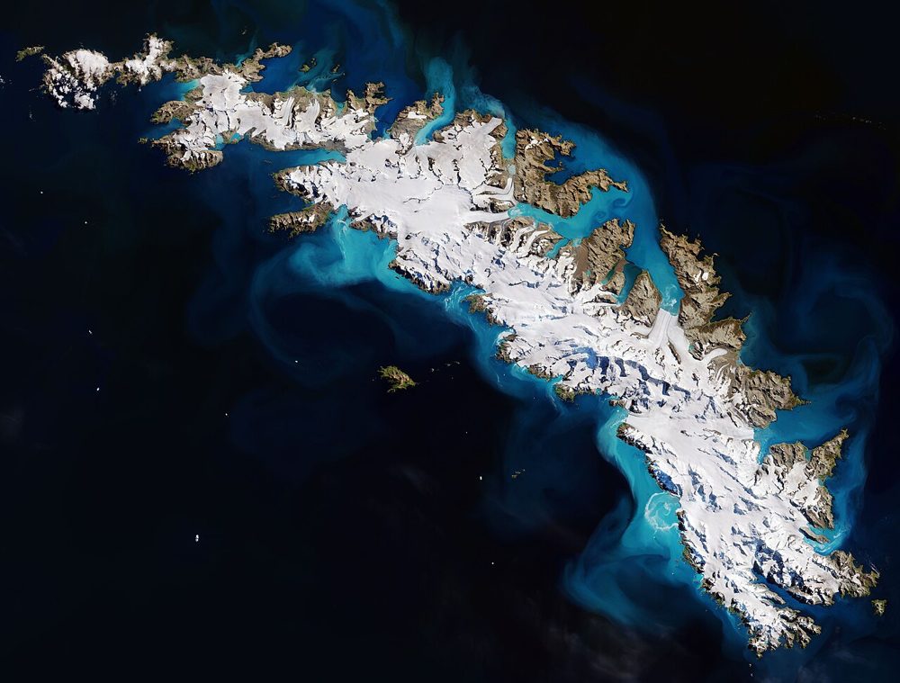
Sentinel-2 (Optical, Multispectral)
ESA / Copernicus
The optical satellite of ESA's Copernicus Earth-observation programme. Its 13-band multispectral data is the most widely used free source for vegetation indices (NDVI), water detection and land-cover analysis.
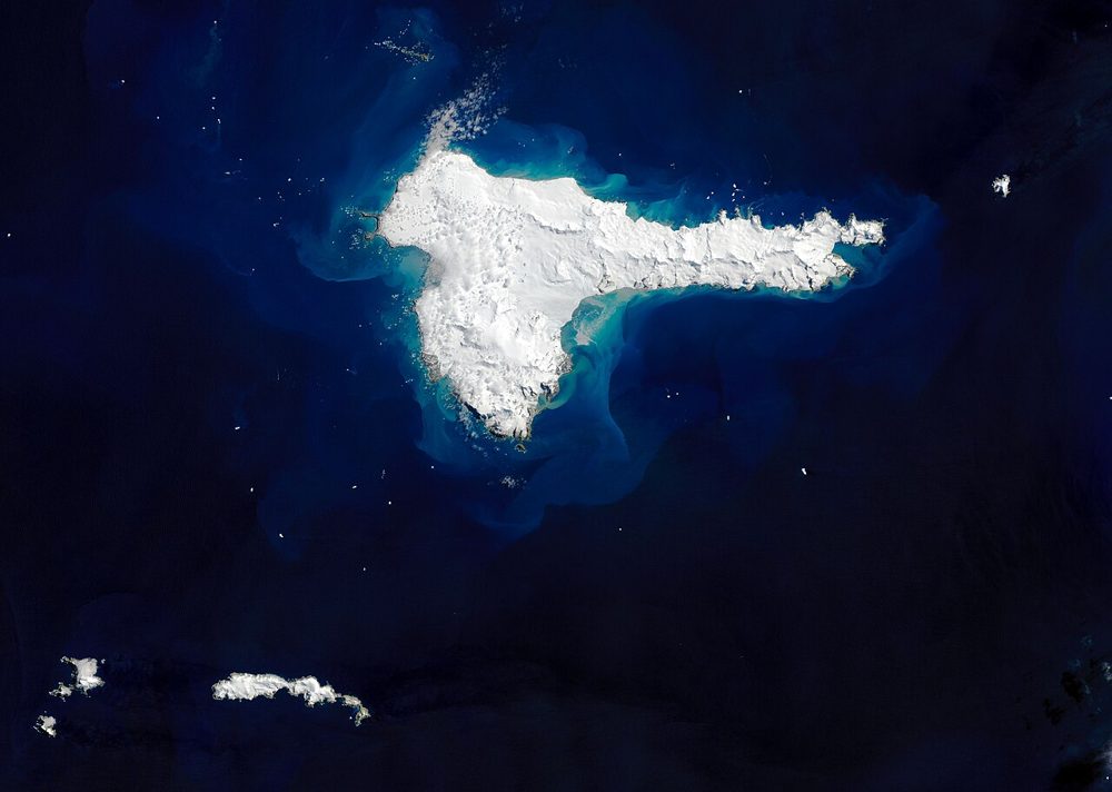
Landsat 8/9 (Optical, Thermal IR)
NASA / USGS
The world's longest Earth-observation archive, running since 1972. Its 50-year time series is unmatched for long-term change analysis, and the thermal infrared band also captures land-surface temperature.
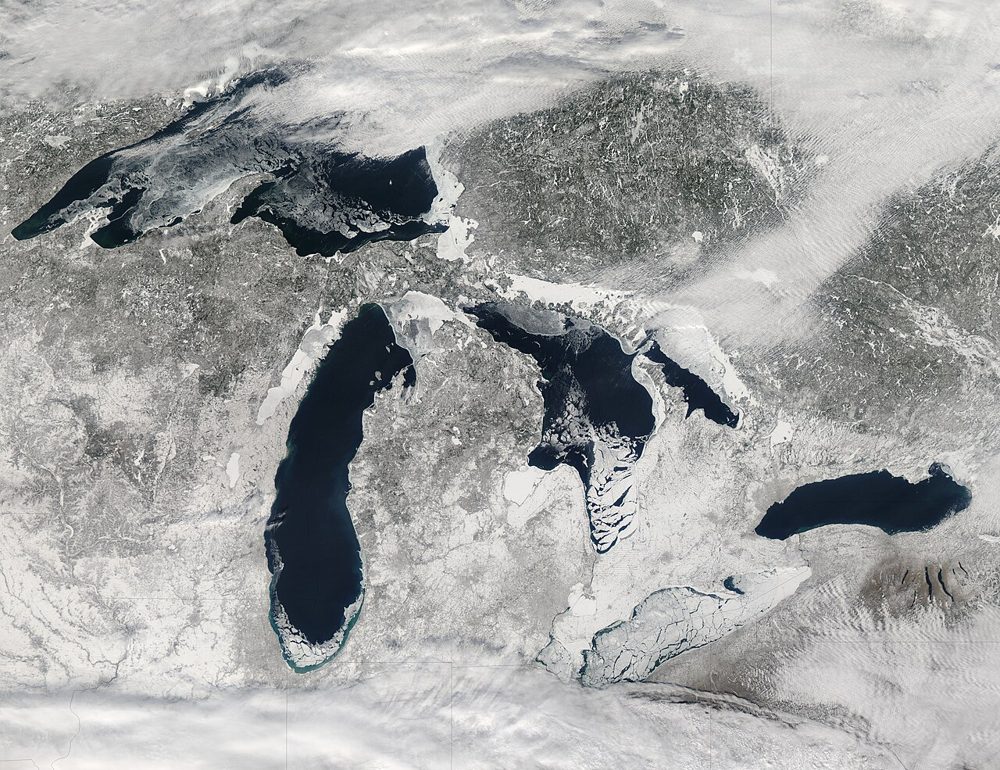
MODIS (Terra/Aqua)
NASA
A 36-band wide-swath sensor. Though coarse in resolution, it covers the entire globe almost daily and is the workhorse for large-scale vegetation, fire and ocean-color monitoring, with a rich set of standard products.