ALOS-2 PALSAR-2 (SAR)
Fournisseur: JAXA
JAXA's L-band SAR satellite. Because it senses terrain change beneath vegetation, it excels at monitoring landslides and volcanic activity in forested areas. Emergency imagery during disasters is provided free of charge.
Images d'exemple
Image représentative de ce type de données (pas une capture réelle de ce produit).Images en direct par localisation
Entrez un lieu, une adresse ou un pays — ou des coordonnées exactes — pour obtenir des images satellitaires en direct via une API publique.
SourceCopernicus · Sentinel Hub Le SAR est capturé sur commande. Cet aperçu montre une carte de base optique ; commandez ce dataset pour la scène SAR réelle.Geocoding © OpenStreetMap / Photon
Résolution
3 m
Revisite
14 days
Couverture
Global (frequent over Japan)
Licence
JAXA terms (registration required)
Prix
$0 — Gratuit
Cas d'usage courants
- Landslide detection
- Volcano monitoring
- Change detection under forest
- Disaster response
Datasets SAR (Radar) associés
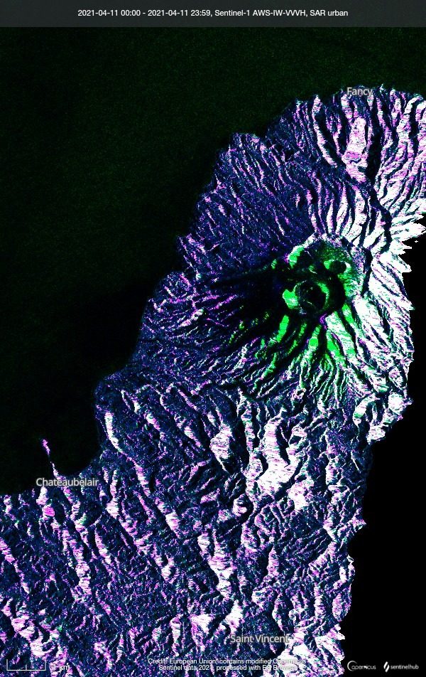
Sentinel-1 (SAR)
ESA / Copernicus
A C-band Synthetic Aperture Radar (SAR) that observes day or night and through any weather. It delivers stable data for ground deformation and flood detection where optical sensors cannot see.
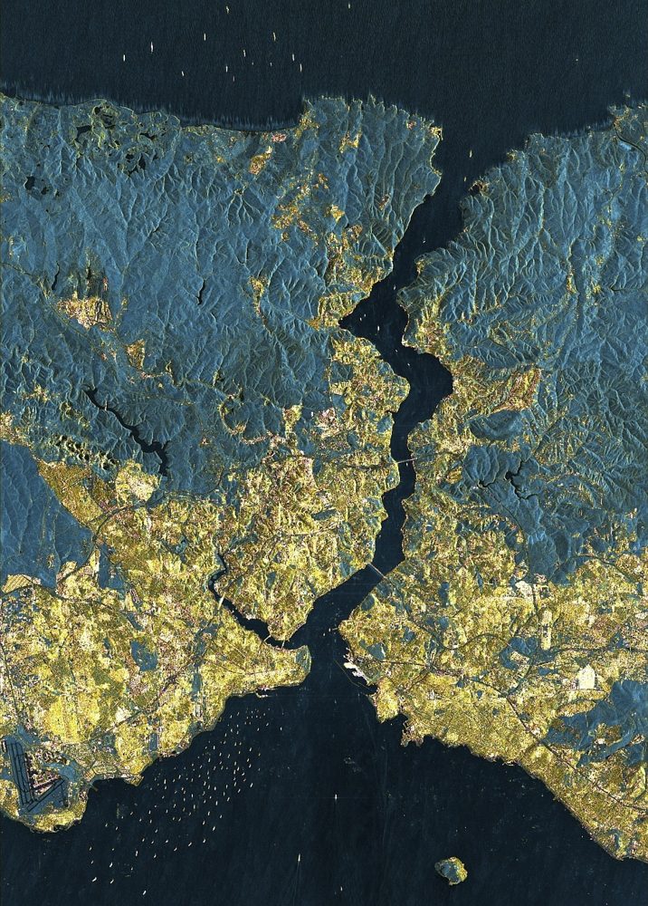
StriX (Small SAR Constellation)
Synspective (Japan)
A Japanese small-SAR satellite constellation. It offers 1 m-class resolution with day/night, all-weather observation, supports ground-displacement analysis and emergency disaster tasking, and pairs with analytics services.
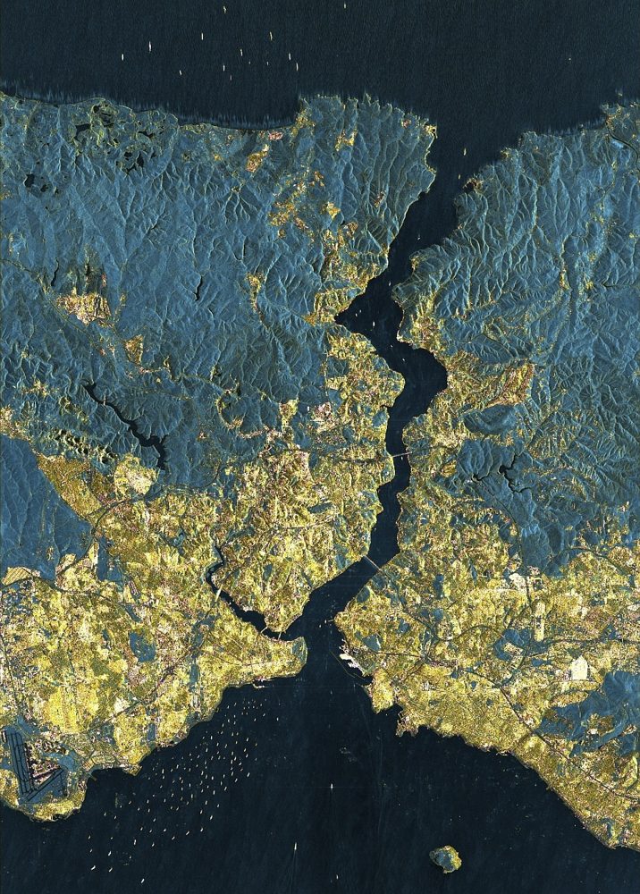
ICEYE SAR (25 cm-class SAR)
ICEYE (Finland)
One of the world's largest SAR constellations. It reaches a top-tier 25 cm SAR resolution and has a strong track record in damage assessment for the insurance industry during storms and floods.