ICEYE SAR (25 cm-class SAR)
Proveedor: ICEYE (Finland)
One of the world's largest SAR constellations. It reaches a top-tier 25 cm SAR resolution and has a strong track record in damage assessment for the insurance industry during storms and floods.
Imágenes de muestra
Imágenes en vivo por ubicación
Introduce un lugar, dirección o país — o coordenadas exactas — para ver imágenes satelitales en vivo a través de una API pública.
FuenteCopernicus · Sentinel Hub El SAR se captura por pedido. Esta vista previa muestra un mapa base óptico; ordena este dataset para obtener la escena SAR real.Geocoding © OpenStreetMap / Photon
Resolución
25 cm
Revisita
Hours (key sites)
Cobertura
Global (tasking)
Licencia
Commercial license
Precio
$800+ / escena
Casos de uso comunes
- Flood damage assessment
- Insurance claim adjudication
- Maritime monitoring
Datasets SAR (Radar) relacionados
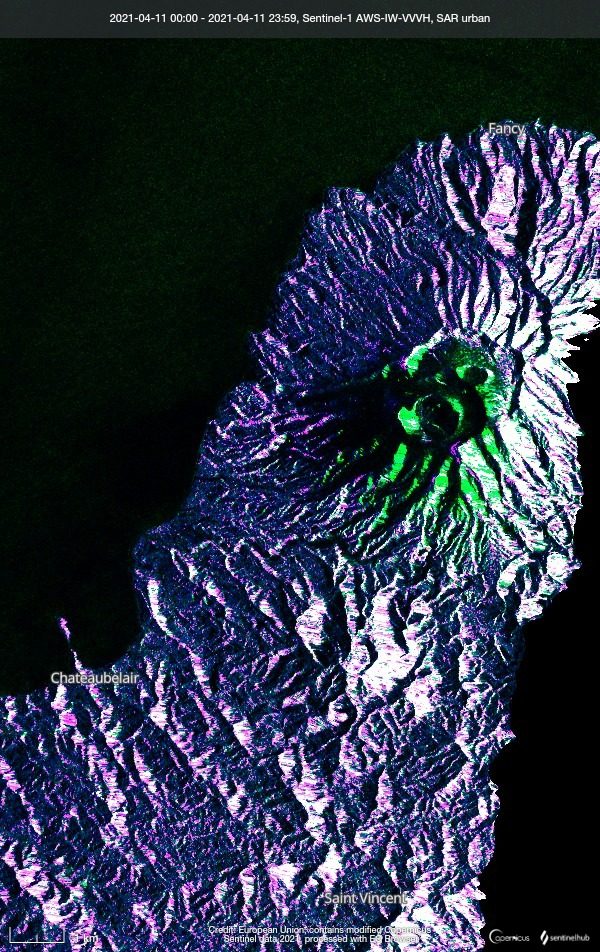
Sentinel-1 (SAR)
ESA / Copernicus
A C-band Synthetic Aperture Radar (SAR) that observes day or night and through any weather. It delivers stable data for ground deformation and flood detection where optical sensors cannot see.
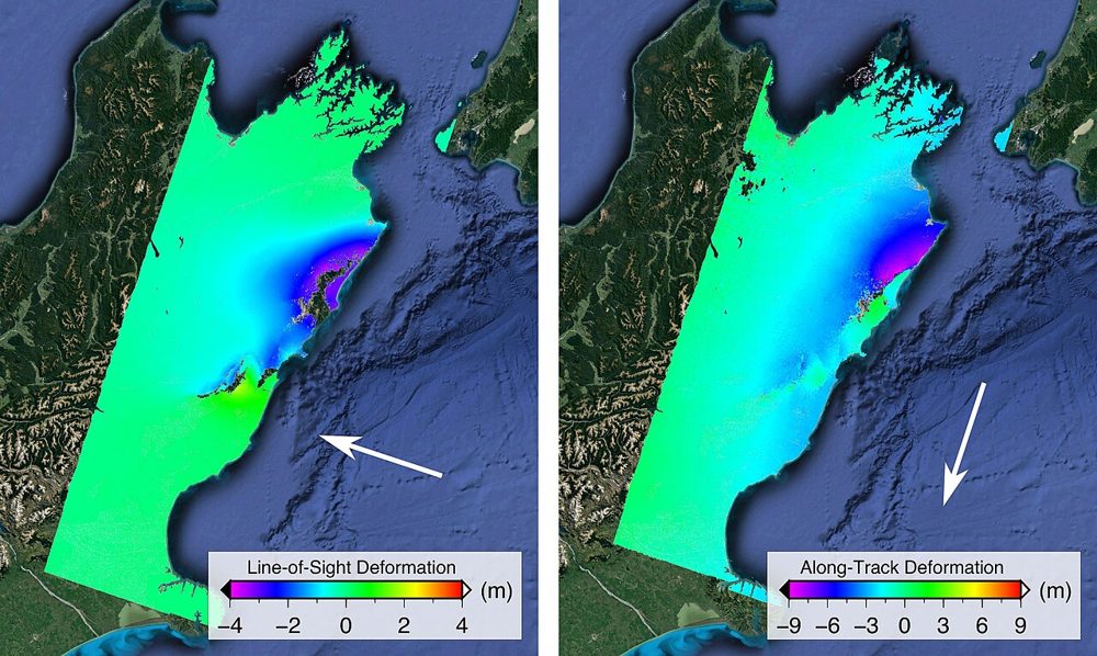
ALOS-2 PALSAR-2 (SAR)
JAXA
JAXA's L-band SAR satellite. Because it senses terrain change beneath vegetation, it excels at monitoring landslides and volcanic activity in forested areas. Emergency imagery during disasters is provided free of charge.
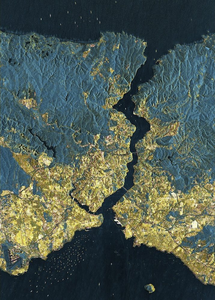
StriX (Small SAR Constellation)
Synspective (Japan)
A Japanese small-SAR satellite constellation. It offers 1 m-class resolution with day/night, all-weather observation, supports ground-displacement analysis and emergency disaster tasking, and pairs with analytics services.